UN/LOCODE hub · Poland
PLGDY
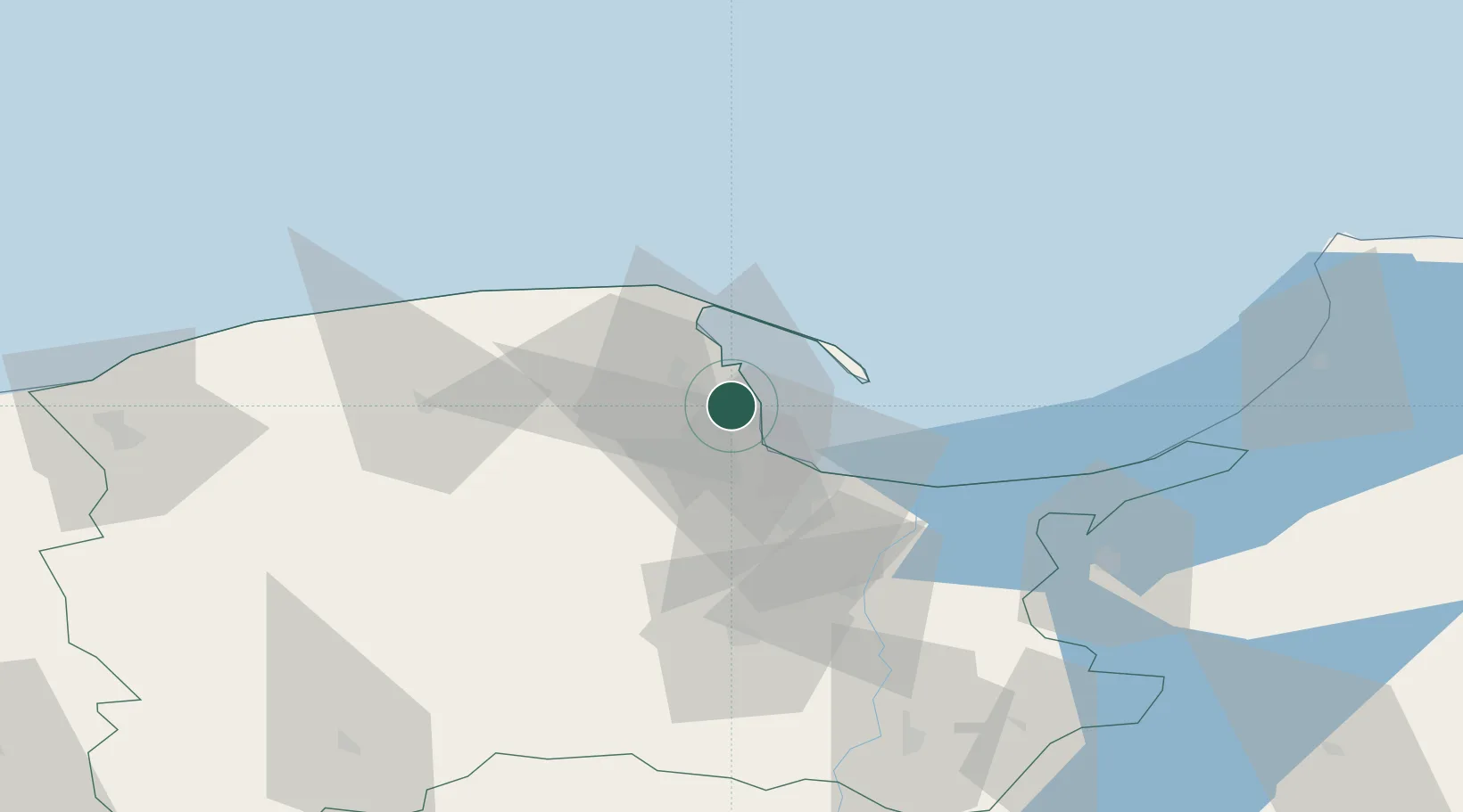
Gdynia
54.5433°, 18.4989°
257,000
Population
3
Transport functions
2
Container terminals
Transport Functions
Port
Rail
Road
Hub Profile
Place type
Populated place
Region
Pomerania
Population
257,000
Time zone
Europe/Warsaw
Elevation
14 m
Logistics facilities
10
Container terminals
2
Location
Nearby Logistics Neighbours
Cities
- 1Rumia8 km
- 2Sopot11 km
- 3Jastarnia19 km
- 4Nowy Port/Gdansk19 km
- 5Hel20 km
Ports
- 1Nowy Port18 km
- 2Gdansk24 km
- 3Baltiysk91 km
- 4Ustka106 km
- 5Kaliningrad129 km
Airports
- 1Gdańsk Lech Wałęsa Airport19 km
- 2Cewice Naval Air Base49 km
- 3Malbork Królewo Air Base71 km
- 4Kaliningrad Chkalovsk Naval Air Base125 km
- 5Khrabrovo Airport140 km
Trade Zones
DatabookThe Record of Consolidated Knowledge
Poland beyond logistics?