Transport Functions
Port
Rail
Road
Hub Profile
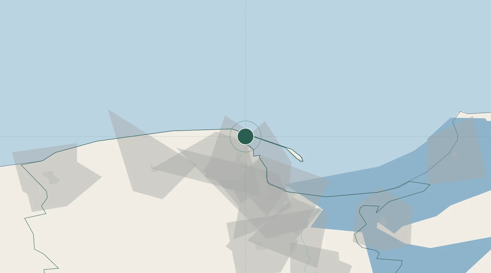
Place type
District seat
Region
Pomerania
Population
14,889
Time zone
Europe/Warsaw
Elevation
19 m
Location
Nearby Logistics Neighbours
Airports
- 1Gdańsk Lech Wałęsa Airport45 km
- 2Cewice Naval Air Base59 km
- 3Malbork Królewo Air Base96 km
- 4Kaliningrad Chkalovsk Naval Air Base127 km
- 5Khrabrovo Airport140 km
Trade Zones
DatabookThe Record of Consolidated Knowledge
Poland beyond logistics?