Transport Functions
Rail
Road
Hub Profile
Place type
Populated place
Region
Subcarpathia
Time zone
Europe/Warsaw
Elevation
182 m
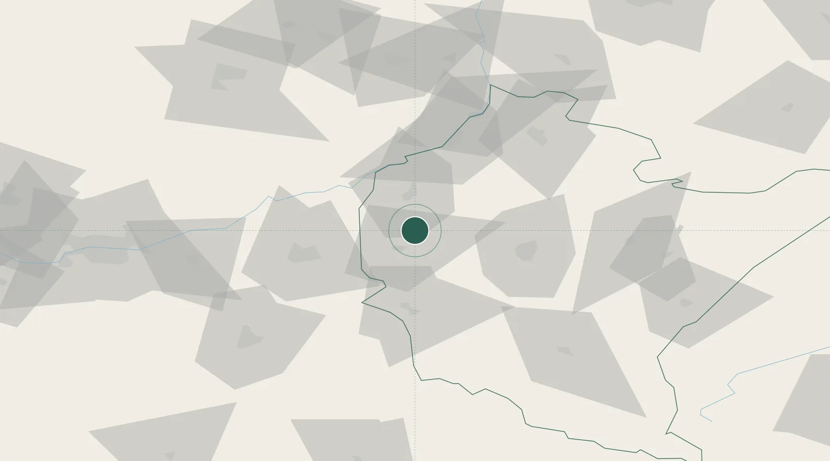
Location
Nearby Logistics Neighbours
Ports
- 1Gdansk507 km
- 2Baltiysk512 km
- 3Kaliningrad512 km
- 4Nowy Port513 km
- 5Gdynia528 km
Airports
- 1Rzeszów-Jasionka Airport39 km
- 2Kraków John Paul II International Airport121 km
- 3Warsaw Radom Airport141 km
- 4Poprad-Tatry Airport148 km
- 5Lublin Airport151 km
Trade Zones
DatabookThe Record of Consolidated Knowledge
Poland beyond logistics?