UN/LOCODE hub · Poland
PLGDN
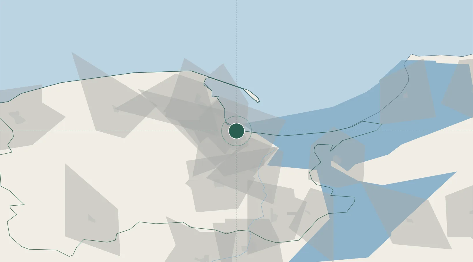
Gdansk
54.3831°, 18.6596°
487,371
Population
2
Transport functions
2
Container terminals
Transport Functions
Port
Airport
Hub Profile
Place type
Regional capital
Region
Pomerania
Population
487,371
Time zone
Europe/Warsaw
Elevation
8 m
Logistics facilities
8
Container terminals
2
Location
Nearby Logistics Neighbours
Cities
- 1Nowy Port/Gdansk2 km
- 2Górki Zachodnie7 km
- 3Sopot10 km
- 4Kolbudy Dolne17 km
- 5Przyjazn18 km
Ports
- 1Nowy Port4 km
- 2Gdynia18 km
- 3Baltiysk85 km
- 4Ustka119 km
- 5Kaliningrad123 km
Airports
- 1Gdańsk Lech Wałęsa Airport13 km
- 2Malbork Królewo Air Base50 km
- 3Cewice Naval Air Base58 km
- 4Kaliningrad Chkalovsk Naval Air Base120 km
- 5Khrabrovo Airport137 km
Trade Zones
DatabookThe Record of Consolidated Knowledge
Poland beyond logistics?