Transport Functions
Multimodal
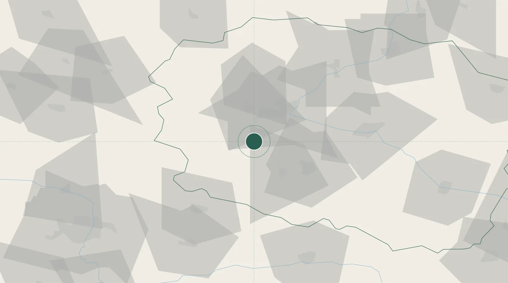
Hub Profile
Place type
District seat
Region
Kujawsko-Pomorskie
Population
4,454
Time zone
Europe/Warsaw
Elevation
76 m
Location
Nearby Logistics Neighbours
Cities
- 1Nowa Wies Wielka10 km
- 2Biale Blota17 km
- 3Znin18 km
- 4Bydgoszcz23 km
- 5Wierzchoslawice29 km
Airports
Trade Zones
- 1Pomeranian SEZ (Pomorska SSE)150 km
- 2Gdansk Port Duty Free Zone169 km
- 3Łódź SEZ (ōódzka SSE)169 km
- 4Słupsk SEZ (Słupska SSE)179 km
- 5Kostrzyń-Słubice SEZ225 km
DatabookThe Record of Consolidated Knowledge
Poland beyond logistics?