Transport Functions
Rail
Road
Hub Profile
Place type
Provincial seat
Region
Kujawsko-Pomorskie
Population
5,759
Time zone
Europe/Warsaw
Elevation
114 m
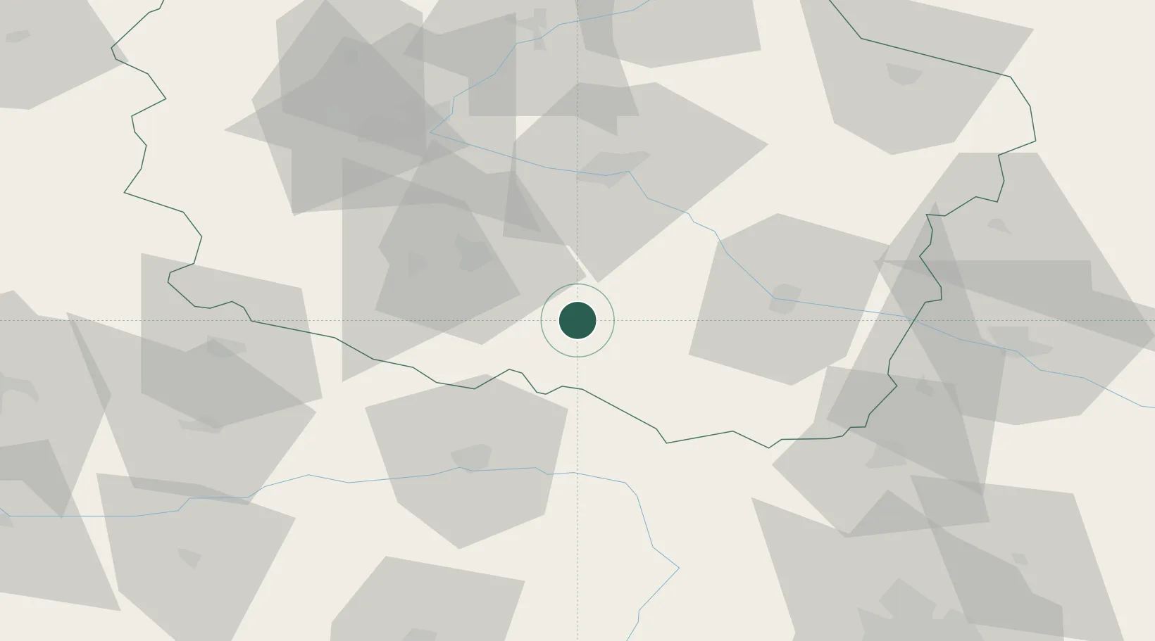
Location
Nearby Logistics Neighbours
Cities
- 1Piotrków Kujawski8 km
- 2Kruszwica17 km
- 3Strzelno23 km
- 4Brzesc Kujawski25 km
- 5Wierzchoslawice32 km
Airports
Trade Zones
DatabookThe Record of Consolidated Knowledge
Poland beyond logistics?