UN/LOCODE hub · Poland
PLPIK
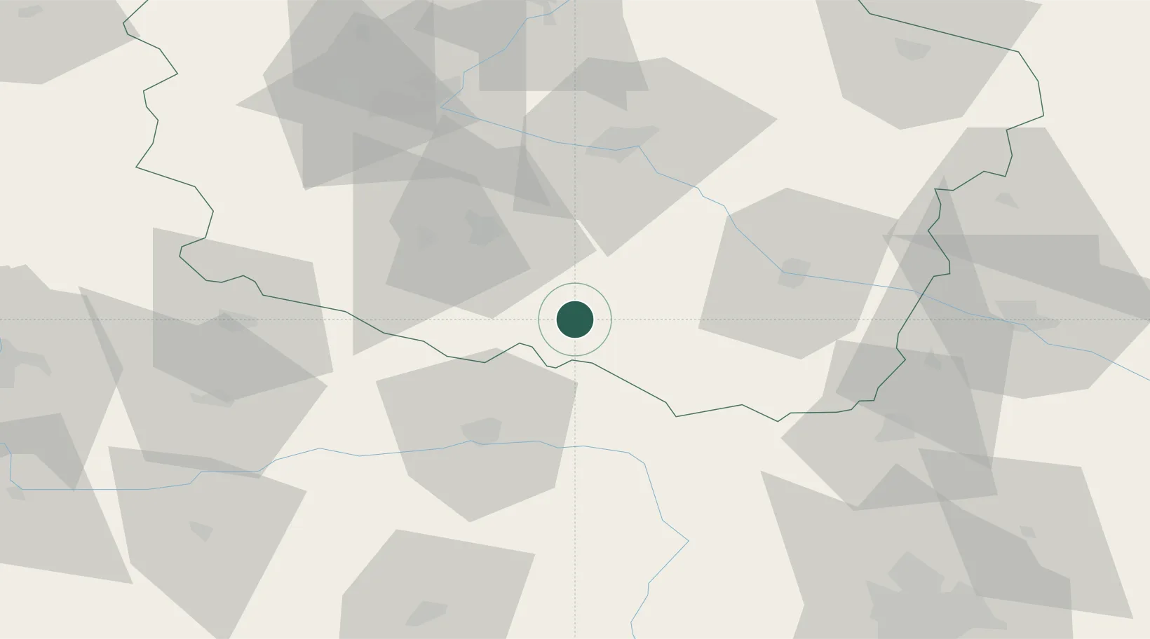
Piotrków Kujawski
52.5500°, 18.5000°
5,030
Population
2
Transport functions
Transport Functions
Rail
Road
Hub Profile
Place type
District seat
Region
Kujawsko-Pomorskie
Population
5,030
Time zone
Europe/Warsaw
Elevation
103 m
Location
Nearby Logistics Neighbours
Cities
- 1Radziejów8 km
- 2Kruszwica20 km
- 3Strzelno22 km
- 4Brzesc Kujawski28 km
- 5Zlotków31 km
Airports
Trade Zones
DatabookThe Record of Consolidated Knowledge
Poland beyond logistics?