UN/LOCODE hub · French Polynesia
PFTAI
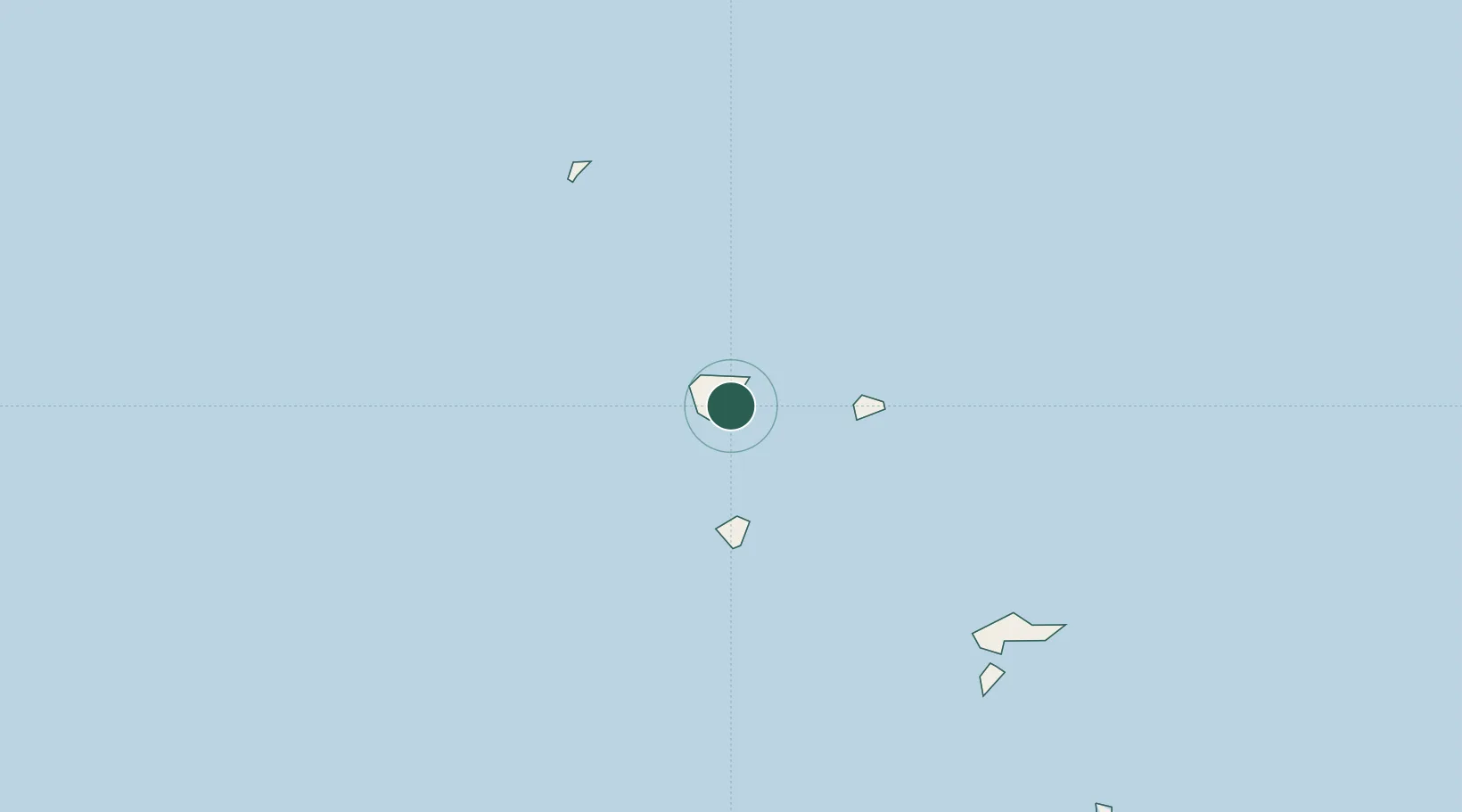
Taiohae
-8.9000°, -140.1000°
1,224
Population
2
Transport functions
Transport Functions
Port
Road
Hub Profile
Place type
Regional capital
Region
Îles Marquises
Population
1,224
Time zone
Pacific/Marquesas
Elevation
23 m
Location
Nearby Logistics Neighbours
Airports
- 1Nuku Hiva Airport18 km
- 2Ua Pou Airport50 km
- 3Ua Huka Airport60 km
- 4Hiva Oa-Atuona Airport154 km
- 5Napuka Island Airport600 km
Trade Zones
- 1FTZ No. 009 Honolulu3878 km
- 2The Special Economic Zone of Lázaro Cárdenas - La Unión5122 km
- 3FTZ No. 153 San Diego5222 km
- 4FTZ No. 202 Los Angeles5272 km
- 5FTZ No. 050 Long Beach5285 km
DatabookThe Record of Consolidated Knowledge
French Polynesia beyond logistics?