Small airport · French Polynesia
Ua Pou AirportNTMP
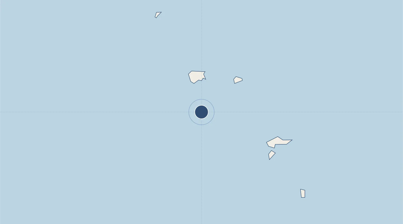
-9.3517°, -140.0780°
2,723 ft
Longest runway
1
Runways
16 ft
Elevation
Runway & Layout
Runways · 1
| Runway | Dimensions | Surface | True heading | Lit |
|---|---|---|---|---|
| 14/32 | 2,723 × 59ft | Asphalt | — | — |
Airport Specifications
IATA code
UAP
ICAO code
NTMP
Airport class
Small airport
Scheduled service
Yes
Runway surface
Asphalt
Served city
Ua Pou
Location
Nearby Logistics Neighbours
Airports
- 1Nuku Hiva Airport64 km
- 2Ua Huka Airport74 km
- 3Hiva Oa-Atuona Airport126 km
- 4Napuka Island Airport552 km
- 5Puka Puka Airport622 km
Ports
- 1Baie Taiohae47 km
- 2Atuona126 km
- 3Papeete1372 km
- 4Uturoa1479 km
- 5Vaitape1493 km
Trade Zones
- 1FTZ No. 009 Honolulu3923 km
- 2The Special Economic Zone of Lázaro Cárdenas - La Unión5150 km
- 3FTZ No. 153 San Diego5266 km
- 4FTZ No. 202 Los Angeles5316 km
- 5FTZ No. 050 Long Beach5330 km
DatabookThe Record of Consolidated Knowledge
French Polynesia beyond logistics?