UN/LOCODE hub · Norway
NOALV

Alvika

62.4833°, 6.3833°
1
Transport functions

Transport Functions

Port
UN/LOCODE

Hub Profile

Region
15
GeoNames

Location

Location of NOALV
Natural Earth 10m (public domain) · 15 · NOALV · 62.48, 6.38GoogleOSMYandex

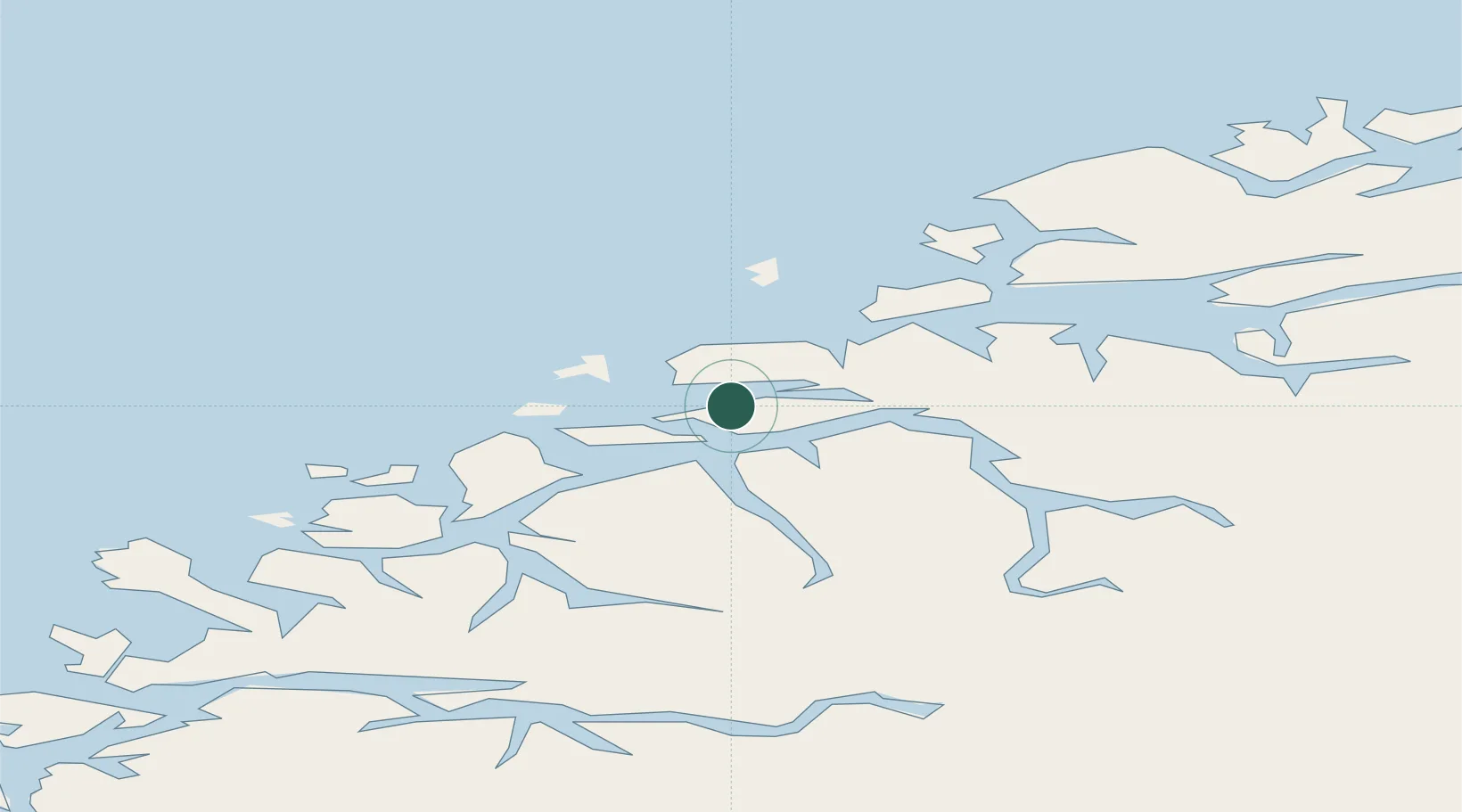
Nearby Logistics Neighbours

Cities
  1. 1Ellingsøy3 km
  2. 2Spjelkavik5 km
  3. 3Grytestranda6 km
  4. 4Fiskarstrand6 km
  5. 5Ålesund10 km
Nearest neighbours — logibook spatial index (haversine) over the source coordinates
Ports
  1. 1Alesund11 km
  2. 2Hareid22 km
  3. 3Orstav35 km
  4. 4Moldtustranda43 km
  5. 5Molde49 km
Nearest neighbours — logibook spatial index (haversine) over the source coordinates
Airports
  1. 1Ålesund Airport16 km
  2. 2Ørsta-Volda Airport, Hovden37 km
  3. 3Molde Airport, Årø54 km
  4. 4Sandane Airport, Anda74 km
  5. 5Kristiansund Airport, Kvernberget101 km
Nearest neighbours — logibook spatial index (haversine) over the source coordinates
Trade Zones
  1. 1Gothenburg Boundless Customs Warehouse610 km
  2. 2Jönköping Free Zone675 km
  3. 3Freeport of Copenhagen- Nordhavn831 km
  4. 4MTS Malmö Transport and Spedition855 km
  5. 5Freeport of Kiel932 km
Nearest neighbours — logibook spatial index (haversine) over the source coordinates
DatabookThe Record of Consolidated Knowledge
Norway beyond logistics?
Browse databook

All Sources

LocationsUN/LOCODE
UN/LOCODE — free
Portsthe NGA World Port Index
Public domain (US gov)
AirportsOurAirports
Public domain
Trade Zonesthe World Bank SEZ database
CC BY 4.0
Trade ZonesOpen Zone Map
CC BY
← Norway locations