UN/LOCODE hub · Norway
NOATL

Atløy

61.3500°, 4.8833°
1
Transport functions

Transport Functions

Port
UN/LOCODE

Hub Profile

Region
14
GeoNames

Location

Location of NOATL
Natural Earth 10m (public domain) · 14 · NOATL · 61.35, 4.88GoogleOSMYandex

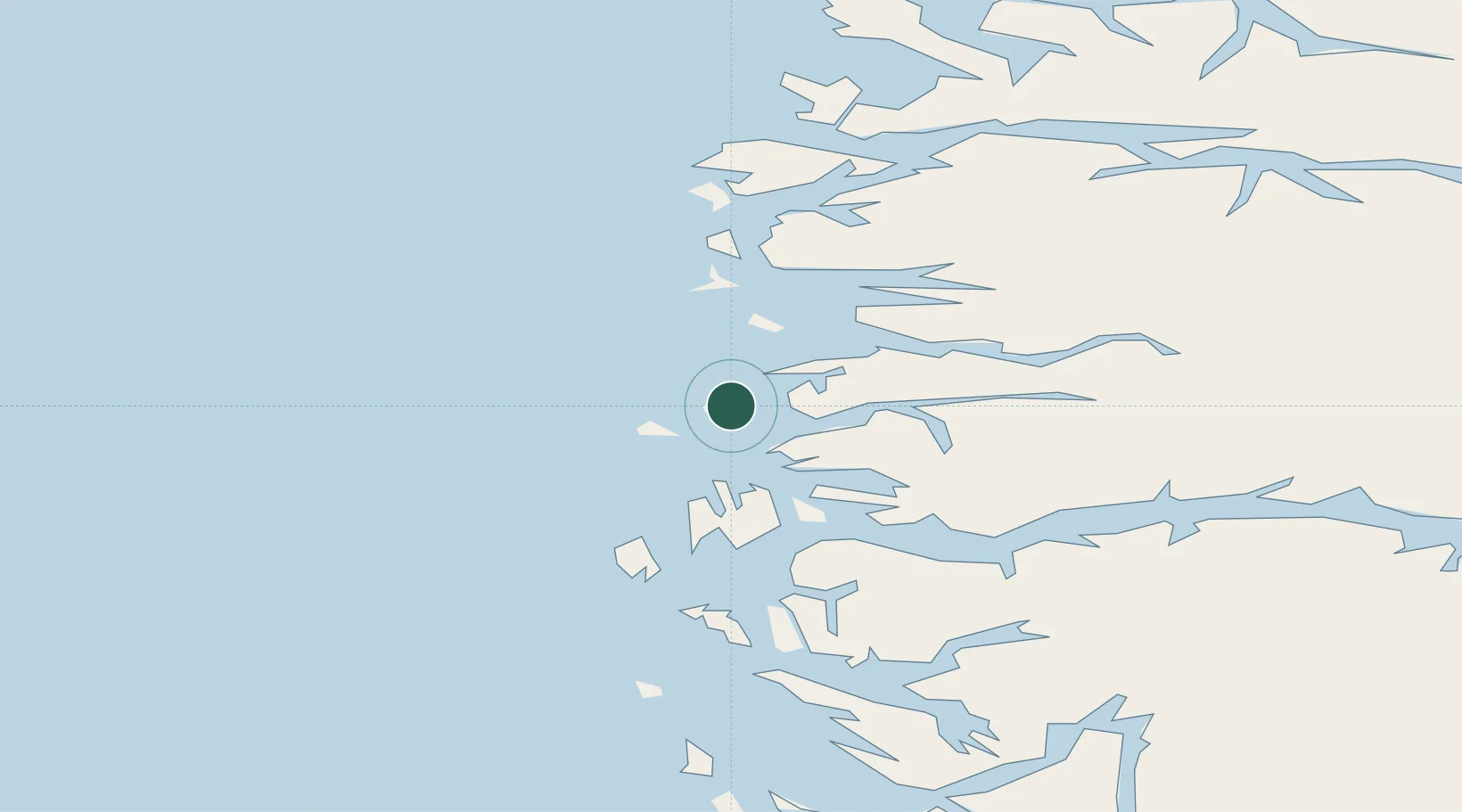
Nearby Logistics Neighbours

Cities
  1. 1Lutelandet12 km
  2. 2Gunhildvågen27 km
  3. 3Dale29 km
  4. 4Flora29 km
  5. 5Florø29 km
Nearest neighbours — logibook spatial index (haversine) over the source coordinates
Ports
  1. 1Floro29 km
  2. 2Mongstad58 km
  3. 3Maloy66 km
  4. 4Stura81 km
  5. 5Vaksdal107 km
Nearest neighbours — logibook spatial index (haversine) over the source coordinates
Airports
  1. 1Florø Airport27 km
  2. 2Førde Airport, Bringeland47 km
  3. 3Sandane Airport, Anda84 km
  4. 4Ørsta-Volda Airport, Hovden112 km
  5. 5Bergen Airport, Flesland119 km
Nearest neighbours — logibook spatial index (haversine) over the source coordinates
Trade Zones
  1. 1Gothenburg Boundless Customs Warehouse562 km
  2. 2Freeport of Copenhagen- Nordhavn769 km
  3. 3MTS Malmö Transport and Spedition796 km
  4. 4North Eastern Enterprise Zone805 km
  5. 5Tees Valley Enterprise Zone831 km
Nearest neighbours — logibook spatial index (haversine) over the source coordinates
DatabookThe Record of Consolidated Knowledge
Norway beyond logistics?
Browse databook

All Sources

LocationsUN/LOCODE
UN/LOCODE — free
Portsthe NGA World Port Index
Public domain (US gov)
AirportsOurAirports
Public domain
Trade Zonesthe World Bank SEZ database
CC BY 4.0
Trade ZonesOpen Zone Map
CC BY
← Norway locations