UN/LOCODE hub · Maldives
MVKFP

Koodoo Fisheries

0.7333°, 73.4333°
1
Transport functions

Transport Functions

Port
UN/LOCODE

Hub Profile

Region
27
GeoNames

Location

Location of MVKFP
Natural Earth 10m (public domain) · 27 · MVKFP · 0.73, 73.43GoogleOSMYandex

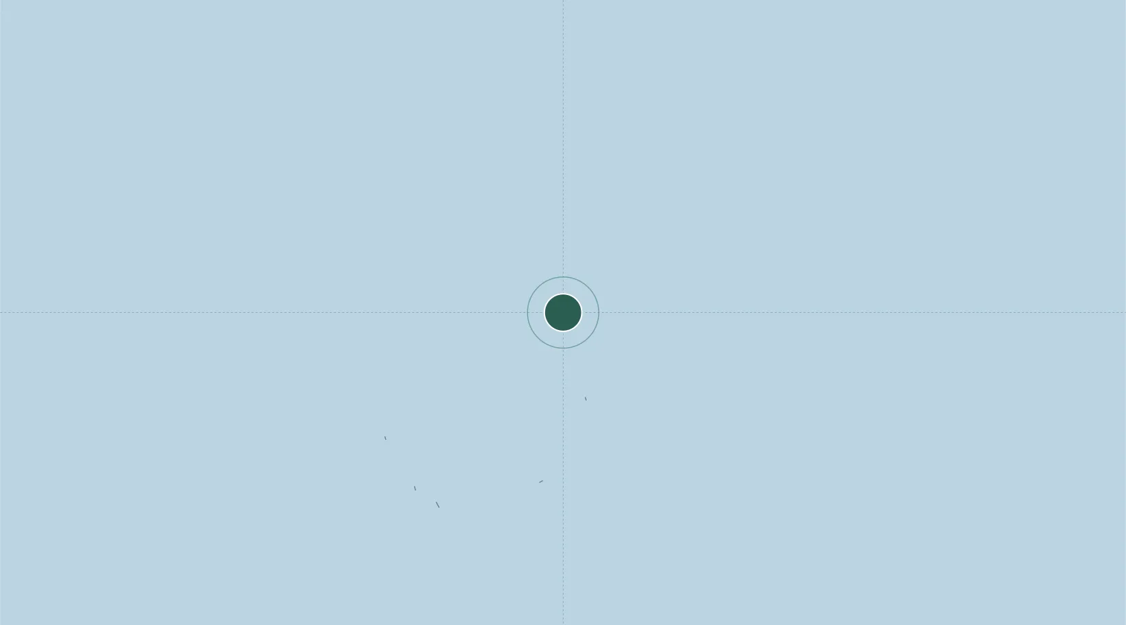
Nearby Logistics Neighbours

Cities
  1. 1Hithadhoo153 km
  2. 2Hithadhoo Port156 km
  3. 3Maamigili Port311 km
  4. 4Rangali329 km
  5. 5Halaveli371 km
Nearest neighbours — logibook spatial index (haversine) over the source coordinates
Ports
  1. 1Male382 km
  2. 2Diego Garcia905 km
  3. 3Trivandrum946 km
  4. 4Galle Harbor957 km
  5. 5Quilon (Kollam)970 km
Nearest neighbours — logibook spatial index (haversine) over the source coordinates
Airports
  1. 1Kooddoo Airport0 km
  2. 2Maavaarulaa Airport45 km
  3. 3Kaadedhdhoo Airport56 km
  4. 4Faresmaathoda Airport66 km
  5. 5Kadhdhoo Airport126 km
Nearest neighbours — logibook spatial index (haversine) over the source coordinates
DatabookThe Record of Consolidated Knowledge
Maldives beyond logistics?
Browse databook

All Sources

LocationsUN/LOCODE
UN/LOCODE — free
Portsthe NGA World Port Index
Public domain (US gov)
AirportsOurAirports
Public domain
Trade Zonesthe World Bank SEZ database
CC BY 4.0
Trade ZonesOpen Zone Map
CC BY
← Maldives locations