Transport Functions
Port
Hub Profile
Region
00
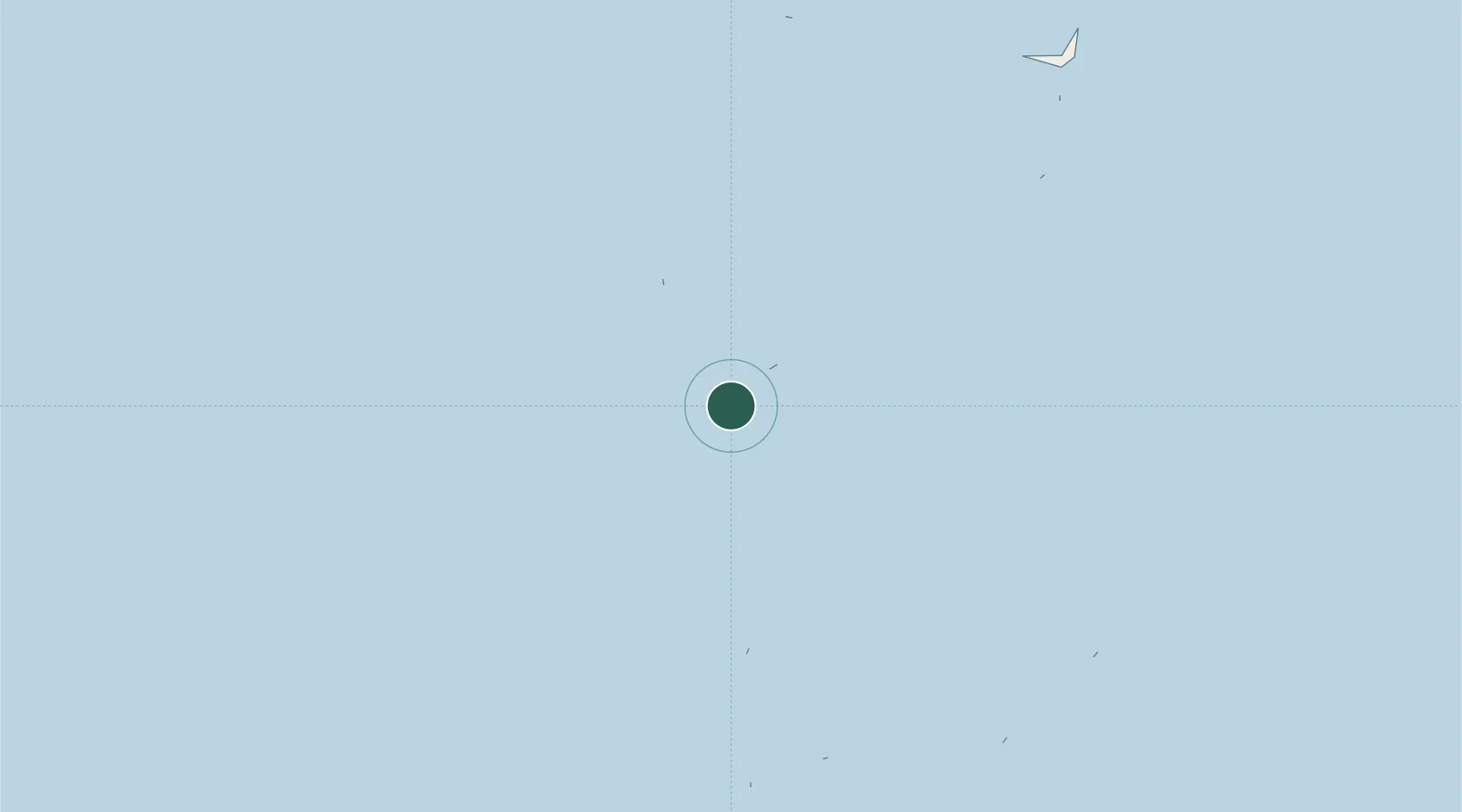
Location
Nearby Logistics Neighbours
Cities
- 1Rangali21 km
- 2Halaveli64 km
- 3Coastline Private Port104 km
- 4Villa Hakatha104 km
- 5Maldive Gas105 km
Ports
- 1Male107 km
- 2Trivandrum720 km
- 3Quilon (Kollam)730 km
- 4Kochi (Cochin)814 km
- 5Tuticorin836 km
Airports
- 1Villa International Airport Maamigili1 km
- 2Velana International Airport112 km
- 3Thimarafushi Airport144 km
- 4Dharavandhoo Airport191 km
- 5Kadhdhoo Airport194 km
DatabookThe Record of Consolidated Knowledge
Maldives beyond logistics?