Runway & Layout

Airport Specifications
IATA code
FMT
ICAO code
VRQF
Airport class
Small airport
Scheduled service
Yes
Served city
Faresmaathodaa
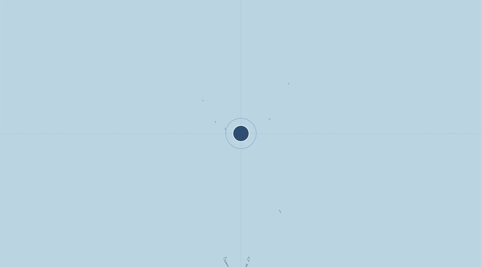
Location
Nearby Logistics Neighbours
Airports
- 1Maavaarulaa Airport39 km
- 2Kaadedhdhoo Airport40 km
- 3Kooddoo Airport66 km
- 4Gan International Airport99 km
- 5Kadhdhoo Airport189 km
Cities
- 1Koodoo Fisheries66 km
- 2Hithadhoo89 km
- 3Hithadhoo Port93 km
- 4Maamigili Port366 km
- 5Rangali383 km
Ports
- 1Male443 km
- 2Diego Garcia843 km
- 3Trivandrum1011 km
- 4Galle Harbor1015 km
- 5Quilon (Kollam)1035 km
Trade Zones
DatabookThe Record of Consolidated Knowledge
Maldives beyond logistics?