Transport Functions
Port
Hub Profile
Region
NC
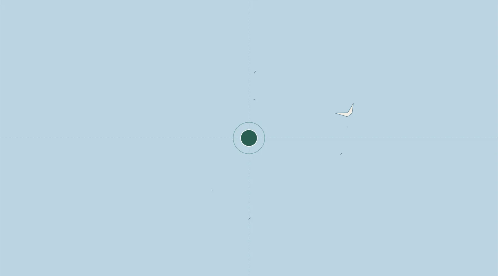
Location
Nearby Logistics Neighbours
Cities
- 1Rangali54 km
- 2Villa Hakatha60 km
- 3Coastline Private Port61 km
- 4Maldive Gas62 km
- 5Maamigili Port64 km
Ports
- 1Male66 km
- 2Trivandrum666 km
- 3Quilon (Kollam)674 km
- 4Kochi (Cochin)754 km
- 5Tuticorin786 km
Airports
DatabookThe Record of Consolidated Knowledge
Maldives beyond logistics?