Transport Functions
Multimodal
Hub Profile
Place type
Regional capital
Region
Seenu
Population
9,927
Time zone
Indian/Maldives
Elevation
6 m
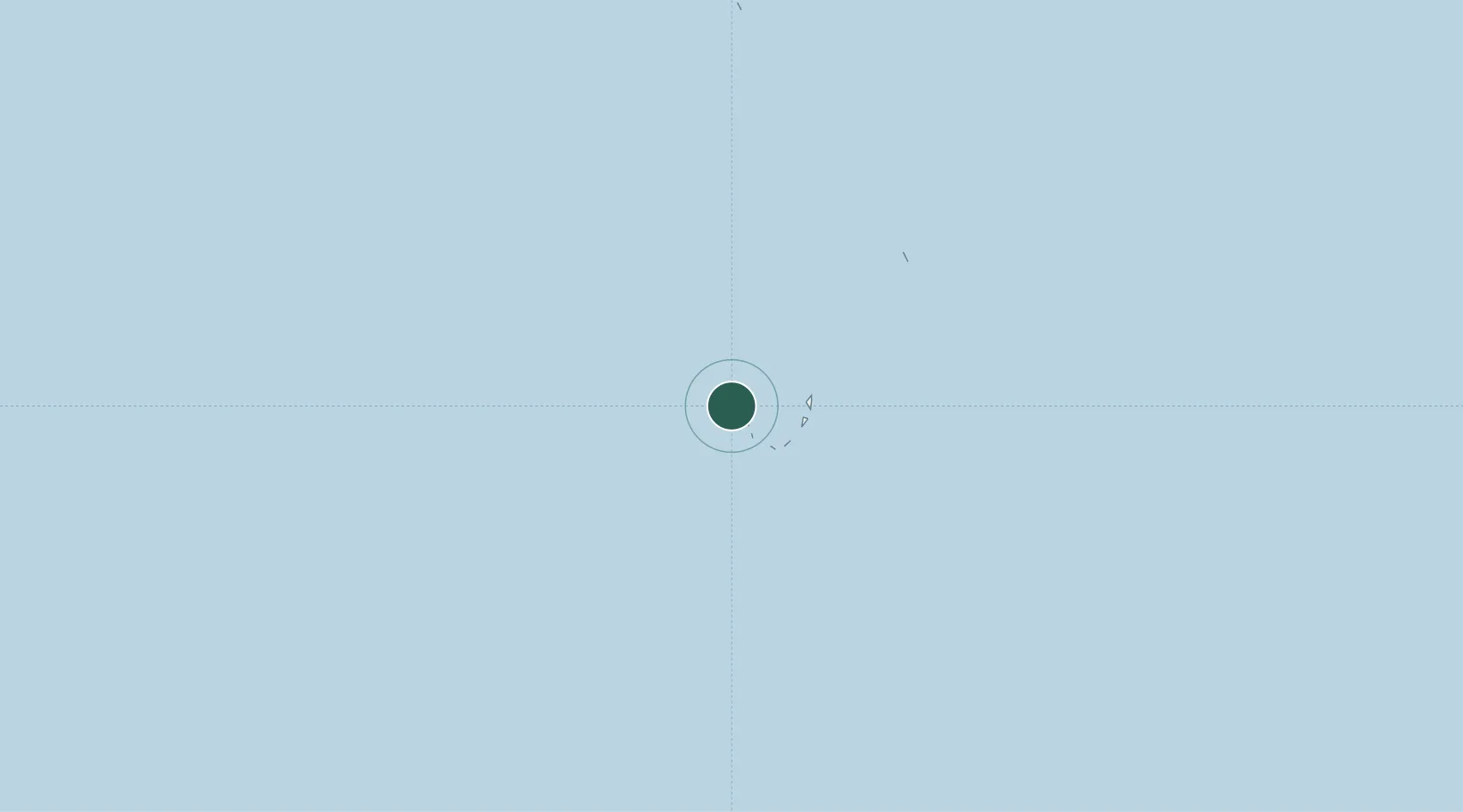
Location
Nearby Logistics Neighbours
Cities
- 1Hithadhoo Port4 km
- 2Koodoo Fisheries153 km
- 3Maamigili Port453 km
- 4Rangali469 km
- 5Halaveli516 km
Ports
- 1Male532 km
- 2Diego Garcia754 km
- 3Galle Harbor1083 km
- 4Trivandrum1097 km
- 5Quilon (Kollam)1122 km
Airports
- 1Gan International Airport13 km
- 2Faresmaathoda Airport89 km
- 3Maavaarulaa Airport115 km
- 4Kaadedhdhoo Airport121 km
- 5Kooddoo Airport153 km
Trade Zones
- 1iHavan848 km
- 2Koggola Export Processing Zone1088 km
- 3Colombo Port City1123 km
- 4Kaluthara - Horana Industrial Estate1124 km
- 5Orion City IT Park1128 km
DatabookThe Record of Consolidated Knowledge
Maldives beyond logistics?