UN/LOCODE hub · North Macedonia
MKDKJ
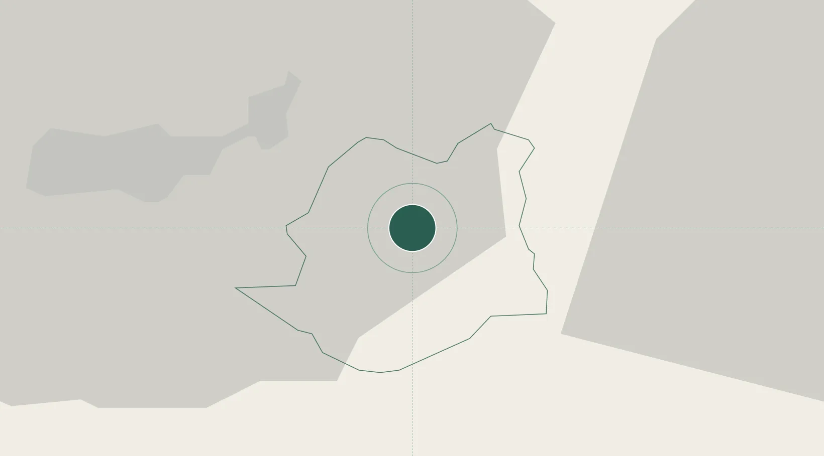
Demir Kapija
41.4000°, 22.2333°
4,451
Population
2
Transport functions
Transport Functions
Port
Road
Hub Profile
Place type
Regional capital
Region
Demir Kapija
Population
4,451
Time zone
Europe/Skopje
Elevation
100 m
Location
Nearby Logistics Neighbours
Cities
- 1Radovis36 km
- 2Gevgelija37 km
- 3Novi Dojran44 km
- 4Lozovo46 km
- 5Titov Veles51 km
Ports
- 1Thessaloniki104 km
- 2Yerakini163 km
- 3Stratoni166 km
- 4Kavala189 km
- 5Volos234 km
Airports
Trade Zones
- 1TIDZ Radoviš31 km
- 2TIDZ Gevgelija31 km
- 3TIDZ Strumica39 km
- 4TIDZ ō tip42 km
- 5TIDZ Vinica59 km
DatabookThe Record of Consolidated Knowledge
North Macedonia beyond logistics?