Transport Functions
Rail
Road
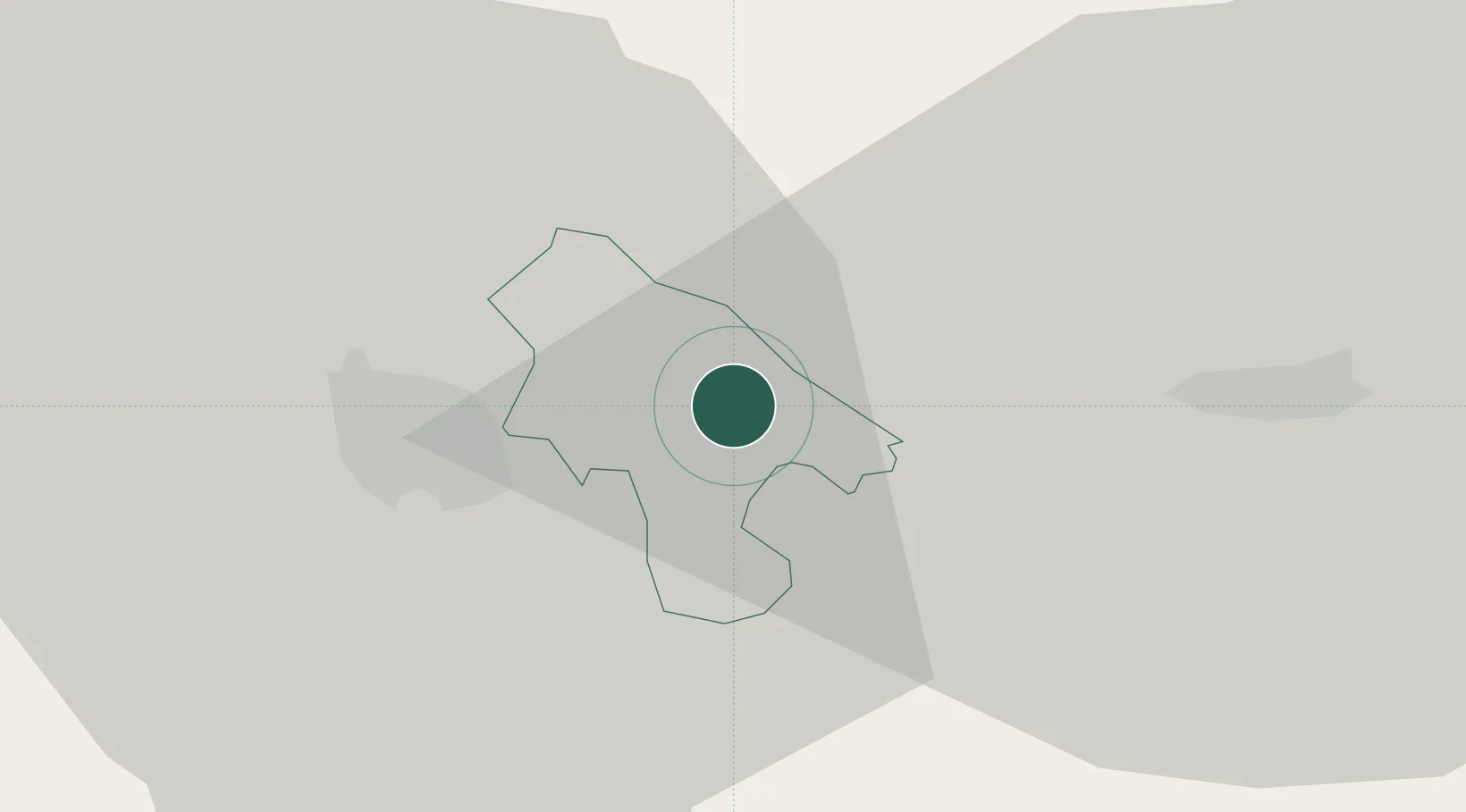
Hub Profile
Place type
Regional capital
Region
Lozovo
Population
2,836
Time zone
Europe/Skopje
Elevation
287 m
Location
Nearby Logistics Neighbours
Cities
- 1Sveti Nikole11 km
- 2Titov Veles15 km
- 3Veles15 km
- 4Demir Kapija46 km
- 5Radovis48 km
Ports
- 1Thessaloniki150 km
- 2Shengjin194 km
- 3Yerakini209 km
- 4Stratoni210 km
- 5Durres212 km
Airports
Trade Zones
- 1TIDZ ō tip19 km
- 2TIDZ Skopje 1 - Bunardō¾ik37 km
- 3TIDZ Skopje 239 km
- 4TIDZ Skopje 339 km
- 5TIDZ Radoviš45 km
DatabookThe Record of Consolidated Knowledge
North Macedonia beyond logistics?