Large airport · Marshall Islands
Marshall Islands International AirportPKMJ
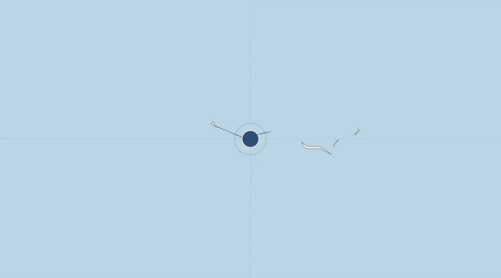
7.0651°, 171.2717°
7,897 ft
Longest runway
1
Runways
6 ft
Elevation
Runway & Layout

Radio Frequencies
CTAF
123.6 MHz
RDO
123.6 MHz
MAJURO RDO
Navaids
MAJ NDB-DME Majuro 0.32 MHz
Runways · 1
| Runway | Dimensions | Surface | True heading | Lit |
|---|---|---|---|---|
| 07/25 | 7,897 × 150ft | Asphalt | 076° | ✓ |
Airport Specifications
IATA code
MAJ
ICAO code
PKMJ
Airport class
Large airport
Scheduled service
Yes
Runway surface
Asphalt
Served city
Majuro Atoll
Location
Nearby Logistics Neighbours
Airports
- 1Mili Island Airport120 km
- 2Aur Island Airport121 km
- 3Enejit Airport139 km
- 4Jaluit Airport222 km
- 5Jeh Airport261 km
Cities
- 1Majuro13 km
- 2Nauru Island975 km
- 3Ngatik1554 km
- 4Lukunor Atoll1942 km
- 5Lata2068 km
Ports
- 1Majuro Atoll13 km
- 2Kwajalein431 km
- 3Tarawa Atoll663 km
- 4Nauru973 km
- 5Enitwetak Island1090 km
Trade Zones
- 1Tulagi Island Special Economic Zone2180 km
- 2Bana (Bougainville) Special Economic Zone2288 km
- 3Vanuatu Economic Development Zone2550 km
- 4An County Industrial Park2730 km
- 5Vanua Levu Tax-Free Region2768 km
DatabookThe Record of Consolidated Knowledge
Marshall Islands beyond logistics?