UN/LOCODE hub · Italy
ITZJP
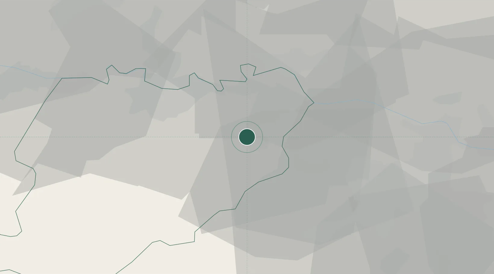
San Giorgio Piacentino
44.9500°, 9.9000°
4,353
Population
1
Transport functions
Transport Functions
Multimodal
Hub Profile
Place type
District seat
Region
Emilia-Romagna
Population
4,353
Time zone
Europe/Rome
Elevation
103 m
Location
Nearby Logistics Neighbours
Cities
- 1Bersano10 km
- 2Villanova sull'Arda11 km
- 3Castell'Arquato11 km
- 4San Polo14 km
- 5Le Mose15 km
Ports
- 1Chiavari - Lavagna85 km
- 2La Spezia95 km
- 3Genova99 km
- 4Marina Di Carrara103 km
- 5Viareggio124 km
Airports
- 1Piacenza San Damiano Air Base15 km
- 2Parma Airport34 km
- 3Ghedi Air Base61 km
- 4Brescia Gabriele d'Annunzio Airport63 km
- 5Milano Linate Airport74 km
Trade Zones
- 1Magazzini Generali Con Chiasso124 km
- 2Consorzio Zona Industriale e Porto Fluviale di Padova166 km
- 3Livigno Free Trade Zone177 km
- 4Free Port of Venice196 km
- 5ZFU LAriane247 km
DatabookThe Record of Consolidated Knowledge
Italy beyond logistics?