Transport Functions
Rail
Road
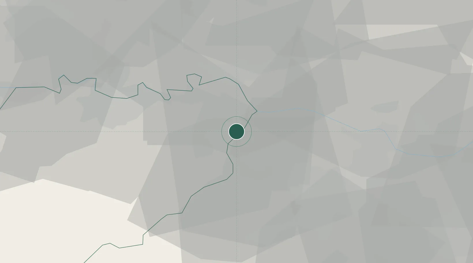
Hub Profile
Place type
Populated place
Region
Emilia-Romagna
Population
127
Time zone
Europe/Rome
Elevation
43 m
Location
Nearby Logistics Neighbours
Cities
- 1Villanova sull'Arda4 km
- 2Zibello10 km
- 3San Giorgio Piacentino10 km
- 4San Donnino13 km
- 5Bonemerse14 km
Ports
- 1Chiavari - Lavagna93 km
- 2La Spezia99 km
- 3Marina Di Carrara106 km
- 4Genova108 km
- 5Viareggio126 km
Airports
- 1Piacenza San Damiano Air Base24 km
- 2Parma Airport28 km
- 3Ghedi Air Base54 km
- 4Brescia Gabriele d'Annunzio Airport55 km
- 5Milano Linate Airport77 km
Trade Zones
- 1Magazzini Generali Con Chiasso127 km
- 2Consorzio Zona Industriale e Porto Fluviale di Padova156 km
- 3Livigno Free Trade Zone172 km
- 4Free Port of Venice187 km
- 5ZFU LAriane257 km
DatabookThe Record of Consolidated Knowledge
Italy beyond logistics?