Transport Functions
Multimodal
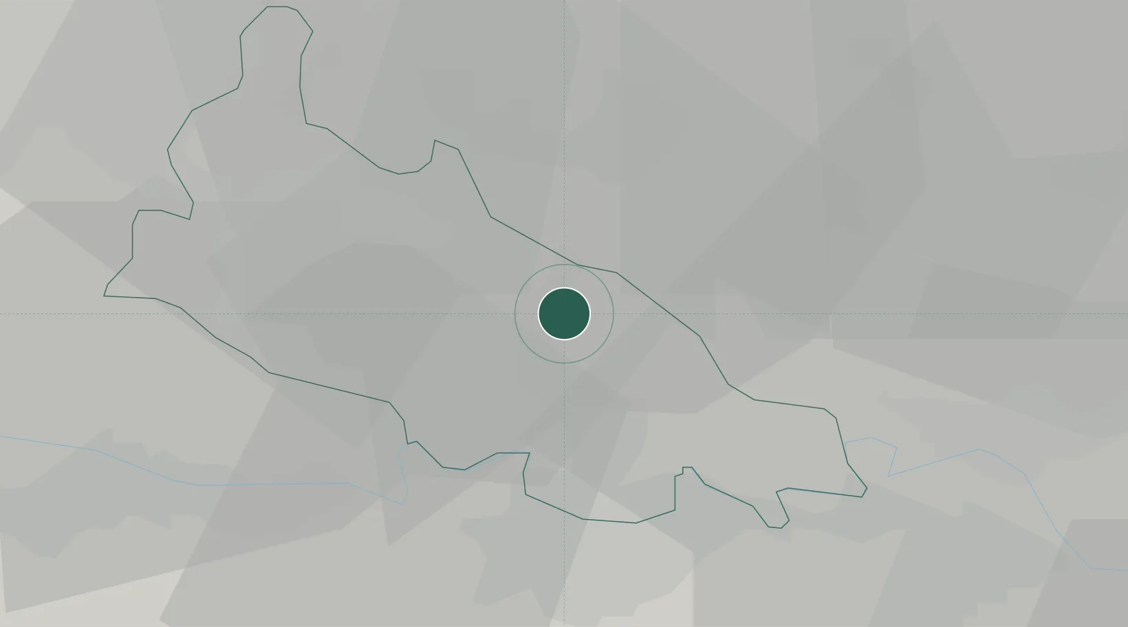
Hub Profile
Place type
District seat
Region
Lombardy
Population
939
Time zone
Europe/Rome
Elevation
63 m
Location
Nearby Logistics Neighbours
Cities
- 1Credera8 km
- 2Codogno8 km
- 3Pizzighettone11 km
- 4Ospedaletto Lodigiano11 km
- 5Chieve14 km
Ports
- 1Chiavari - Lavagna107 km
- 2Genova110 km
- 3La Spezia127 km
- 4Savona137 km
- 5Marina Di Carrara138 km
Airports
Trade Zones
DatabookThe Record of Consolidated Knowledge
Italy beyond logistics?