Transport Functions
Multimodal
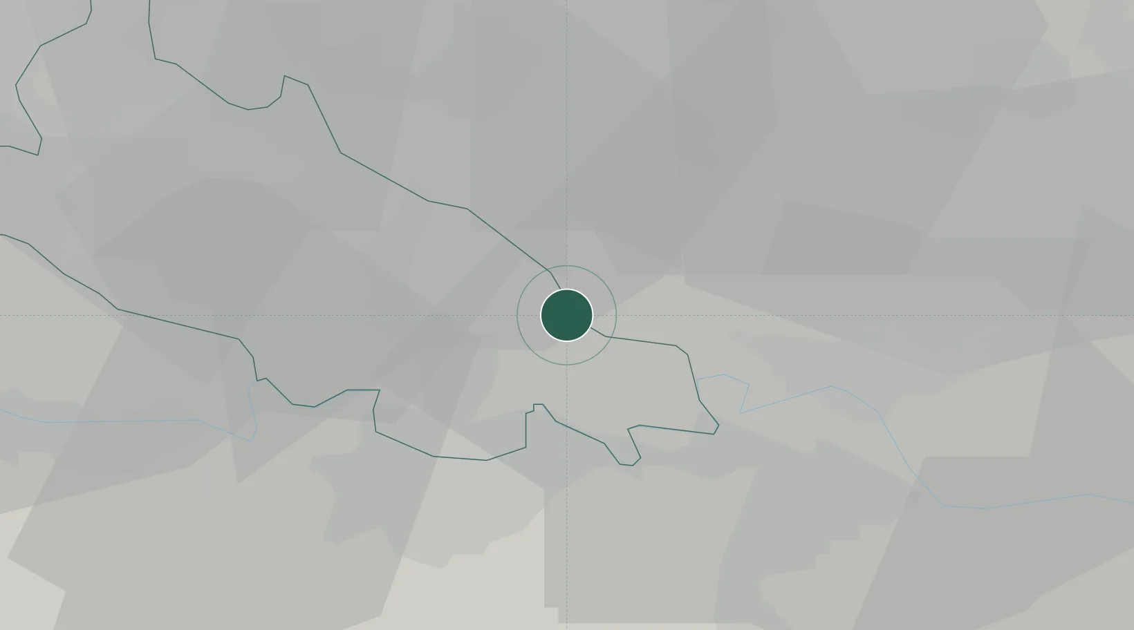
Hub Profile
Place type
District seat
Region
Lombardy
Population
4,205
Time zone
Europe/Rome
Elevation
46 m
Location
Nearby Logistics Neighbours
Cities
- 1Grumello Cremonese7 km
- 2Codogno7 km
- 3Castelnuovo Bocca d'Adda10 km
- 4Sesto Cremonese11 km
- 5Bertonico11 km
Ports
- 1Chiavari - Lavagna104 km
- 2Genova111 km
- 3La Spezia121 km
- 4Marina Di Carrara130 km
- 5Savona140 km
Airports
Trade Zones
DatabookThe Record of Consolidated Knowledge
Italy beyond logistics?