UN/LOCODE hub · Italy
ITOPL

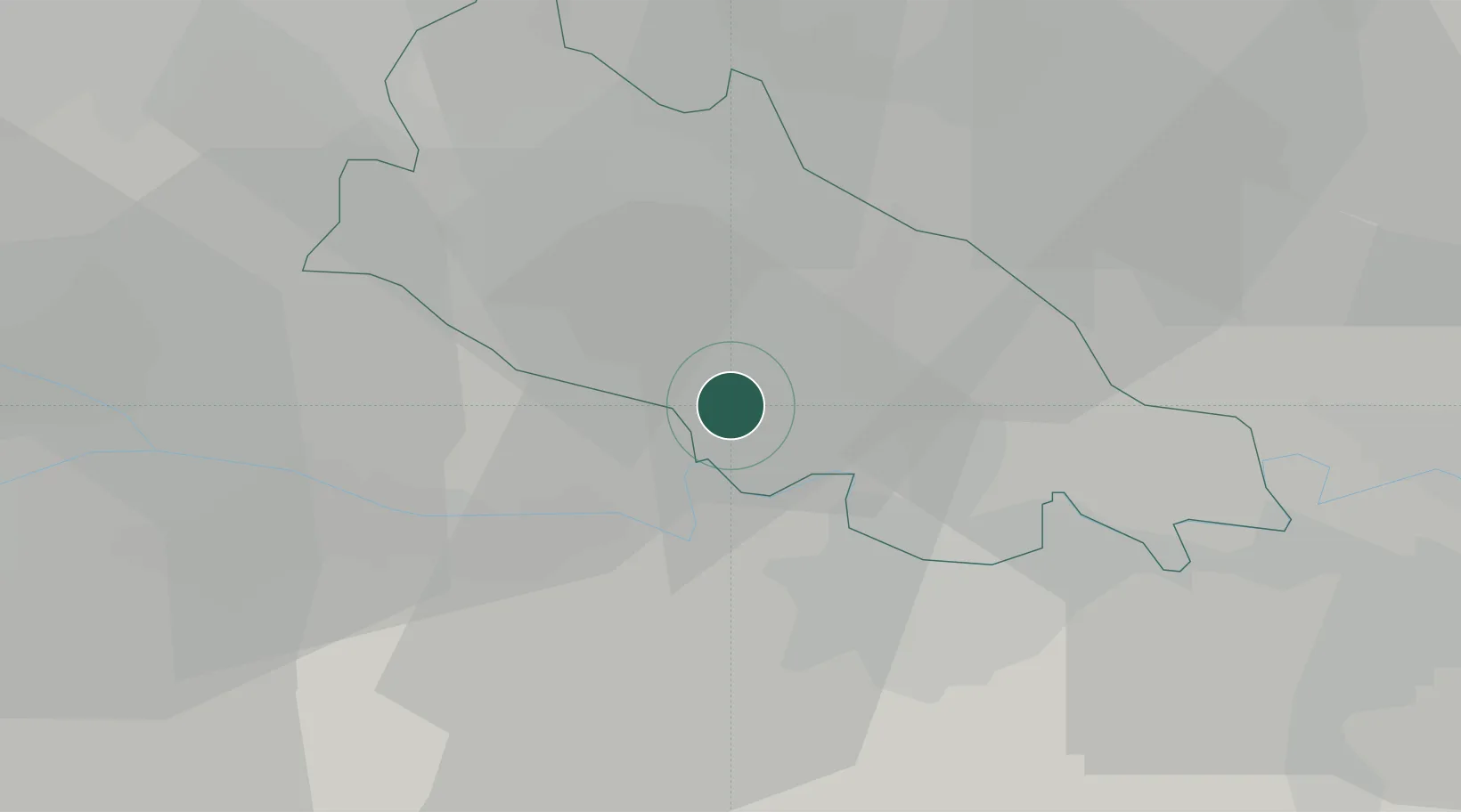
Ospedaletto Lodigiano

45.1667°, 9.5667°
1,808
Population
2
Transport functions

Transport Functions

Road
Multimodal
UN/LOCODE

Hub Profile

Place type
District seat
GeoNames
Region
Lombardy
GeoNames
Population
1,808
GeoNames
Time zone
Europe/Rome
GeoNames
Elevation
65 m
GeoNames

Location

Location of ITOPL
Natural Earth 10m (public domain) · Lombardy · ITOPL · 45.17, 9.57GoogleOSMYandex

Nearby Logistics Neighbours

Cities
  1. 1Codogno11 km
  2. 2Miradolo Terme11 km
  3. 3Bertonico11 km
  4. 4Motta Vigana12 km
  5. 5Santa Cristina e Bissone13 km
Nearest neighbours — logibook spatial index (haversine) over the source coordinates
Ports
  1. 1Chiavari - Lavagna98 km
  2. 2Genova100 km
  3. 3La Spezia121 km
  4. 4Savona127 km
  5. 5Marina Di Carrara132 km
Nearest neighbours — logibook spatial index (haversine) over the source coordinates
Airports
  1. 1Piacenza San Damiano Air Base31 km
  2. 2Milano Linate Airport38 km
  3. 3Il Caravaggio International Airport57 km
  4. 4Ghedi Air Base62 km
  5. 5Brescia Gabriele d'Annunzio Airport67 km
Nearest neighbours — logibook spatial index (haversine) over the source coordinates
Trade Zones
  1. 1Magazzini Generali Con Chiasso90 km
  2. 2Livigno Free Trade Zone157 km
  3. 3Consorzio Zona Industriale e Porto Fluviale di Padova186 km
  4. 4Free Port of Venice217 km
  5. 5Aosta Valley224 km
Nearest neighbours — logibook spatial index (haversine) over the source coordinates
DatabookThe Record of Consolidated Knowledge
Italy beyond logistics?
Browse databook

All Sources

LocationsUN/LOCODE
UN/LOCODE — free
LocationsGeoNames
CC BY 4.0
Portsthe NGA World Port Index
Public domain (US gov)
AirportsOurAirports
Public domain
Trade Zonesthe World Bank SEZ database
CC BY 4.0
Trade ZonesOpen Zone Map
CC BY
← Italy locations