Transport Functions
Multimodal
Hub Profile
Place type
District seat
Region
Friuli Venezia Giulia
Population
1,996
Time zone
Europe/Rome
Elevation
33 m
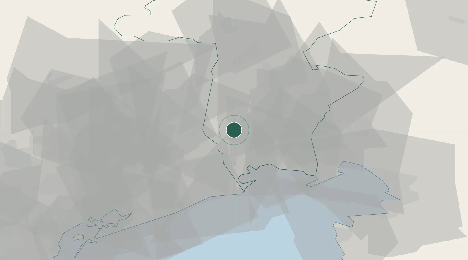
Location
Nearby Logistics Neighbours
Cities
- 1Codroipo7 km
- 2Pocenia10 km
- 3Morsano al Tagliamento14 km
- 4Pasian di Prato15 km
- 5Cordovado16 km
Ports
- 1Nogaro21 km
- 2Grado33 km
- 3Monfalcone42 km
- 4Piran60 km
- 5Trieste62 km
Airports
- 1Udine-Rivolto Air Base5 km
- 2Trieste Airport35 km
- 3Aviano Air Base37 km
- 4Portorož Airport68 km
- 5Venice Marco Polo Airport72 km
Trade Zones
DatabookThe Record of Consolidated Knowledge
Italy beyond logistics?