Transport Functions
Multimodal
Hub Profile
Place type
District seat
Region
Friuli Venezia Giulia
Population
5,447
Time zone
Europe/Rome
Elevation
105 m
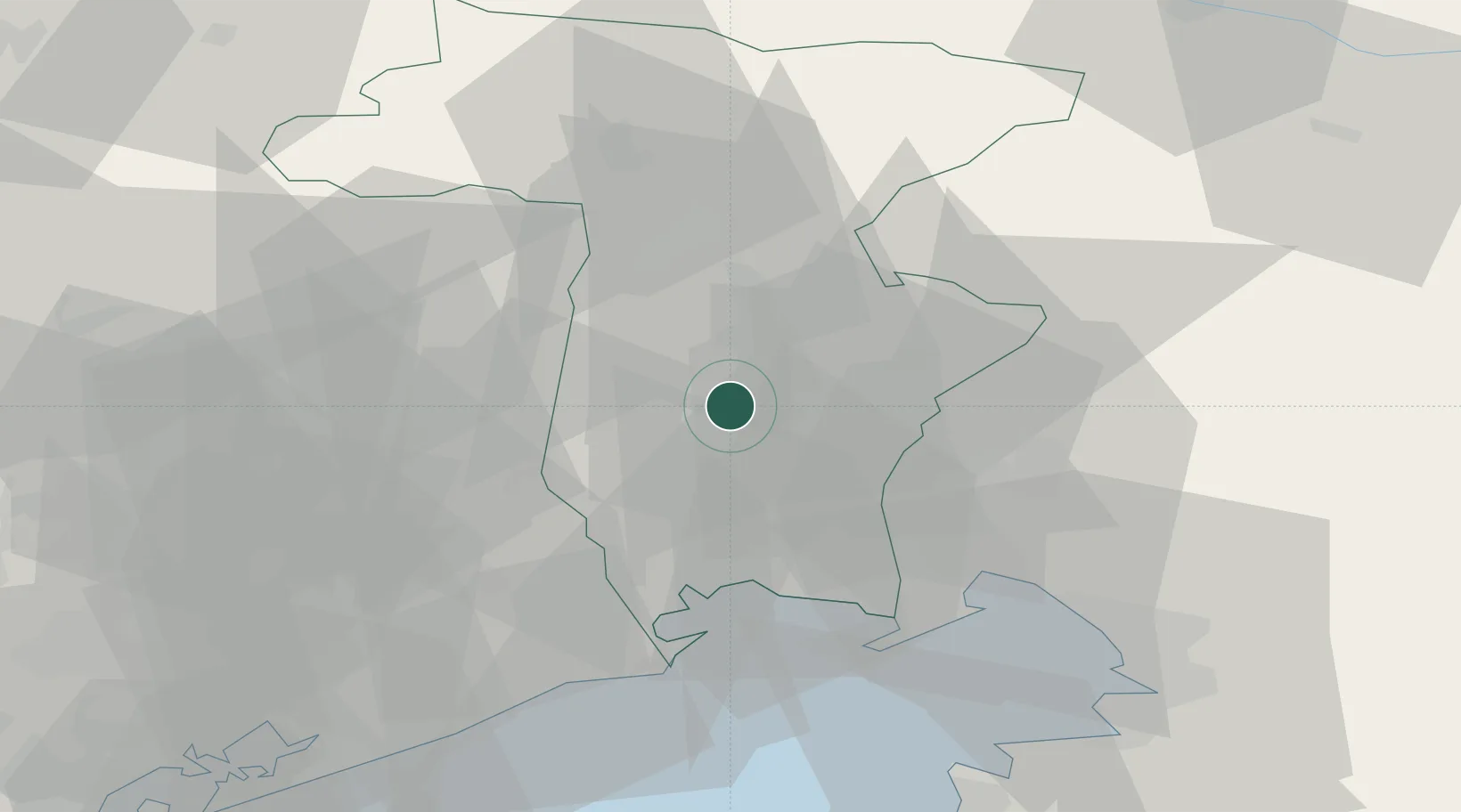
Location
Nearby Logistics Neighbours
Cities
- 1Cavalicco8 km
- 2Feletto Umberto8 km
- 3Povoletto13 km
- 4Reana del Roiale13 km
- 5Bertiolo15 km
Ports
- 1Nogaro31 km
- 2Grado38 km
- 3Monfalcone40 km
- 4Trieste61 km
- 5Piran63 km
Airports
- 1Udine-Rivolto Air Base12 km
- 2Trieste Airport32 km
- 3Aviano Air Base45 km
- 4Portorož Airport71 km
- 5Venice Marco Polo Airport87 km
Trade Zones
DatabookThe Record of Consolidated Knowledge
Italy beyond logistics?