Transport Functions
Road
Multimodal
Hub Profile
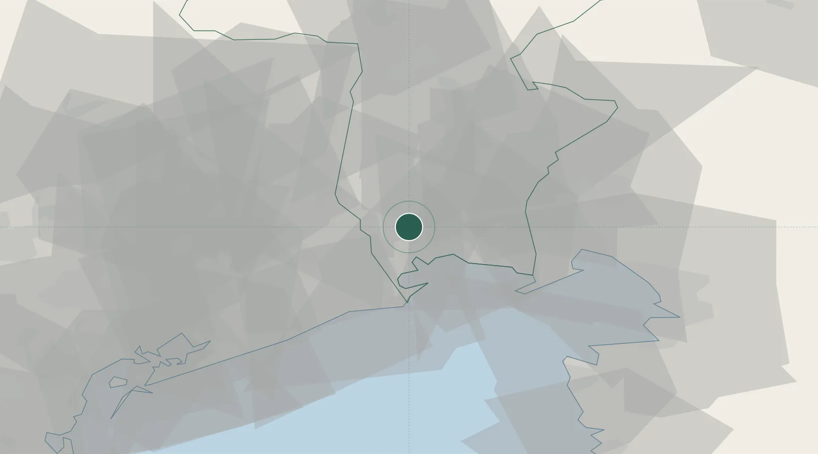
Place type
District seat
Region
Friuli Venezia Giulia
Population
1,451
Time zone
Europe/Rome
Elevation
9 m
Location
Nearby Logistics Neighbours
Cities
- 1San Giórgio di Nogaro8 km
- 2Bertiolo10 km
- 3Marano Lagunare11 km
- 4Torviscosa13 km
- 5Morsano al Tagliamento14 km
Ports
- 1Nogaro11 km
- 2Grado23 km
- 3Monfalcone36 km
- 4Piran51 km
- 5Trieste55 km
Airports
- 1Udine-Rivolto Air Base15 km
- 2Trieste Airport29 km
- 3Aviano Air Base44 km
- 4Portorož Airport58 km
- 5Venice Marco Polo Airport70 km
Trade Zones
DatabookThe Record of Consolidated Knowledge
Italy beyond logistics?