Transport Functions
Multimodal
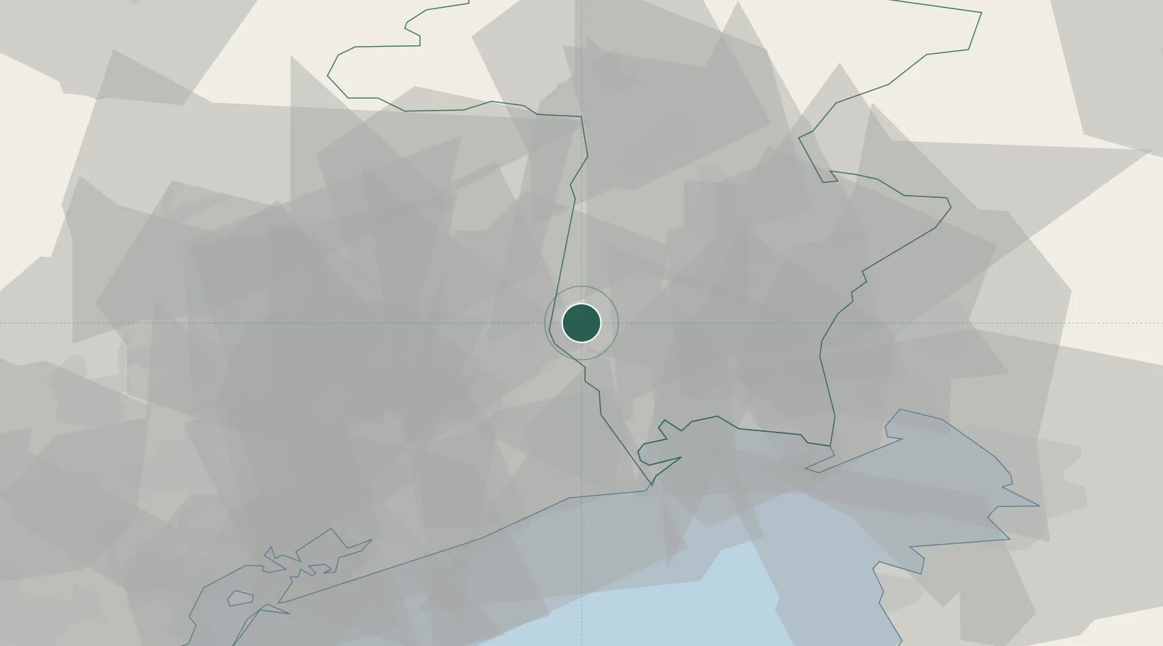
Hub Profile
Place type
District seat
Region
Friuli Venezia Giulia
Population
12,811
Time zone
Europe/Rome
Elevation
43 m
Location
Nearby Logistics Neighbours
Cities
- 1Bertiolo7 km
- 2Morsano al Tagliamento12 km
- 3San Giorgio della Richinvelda12 km
- 4Cordovado13 km
- 5Rauscedo15 km
Ports
- 1Nogaro26 km
- 2Grado38 km
- 3Monfalcone49 km
- 4Piran66 km
- 5Trieste69 km
Airports
- 1Udine-Rivolto Air Base7 km
- 2Aviano Air Base30 km
- 3Trieste Airport41 km
- 4Treviso Airport69 km
- 5Venice Marco Polo Airport69 km
Trade Zones
DatabookThe Record of Consolidated Knowledge
Italy beyond logistics?