Transport Functions
Multimodal
Hub Profile
Place type
District seat
Region
Lazio
Population
386
Time zone
Europe/Rome
Elevation
380 m
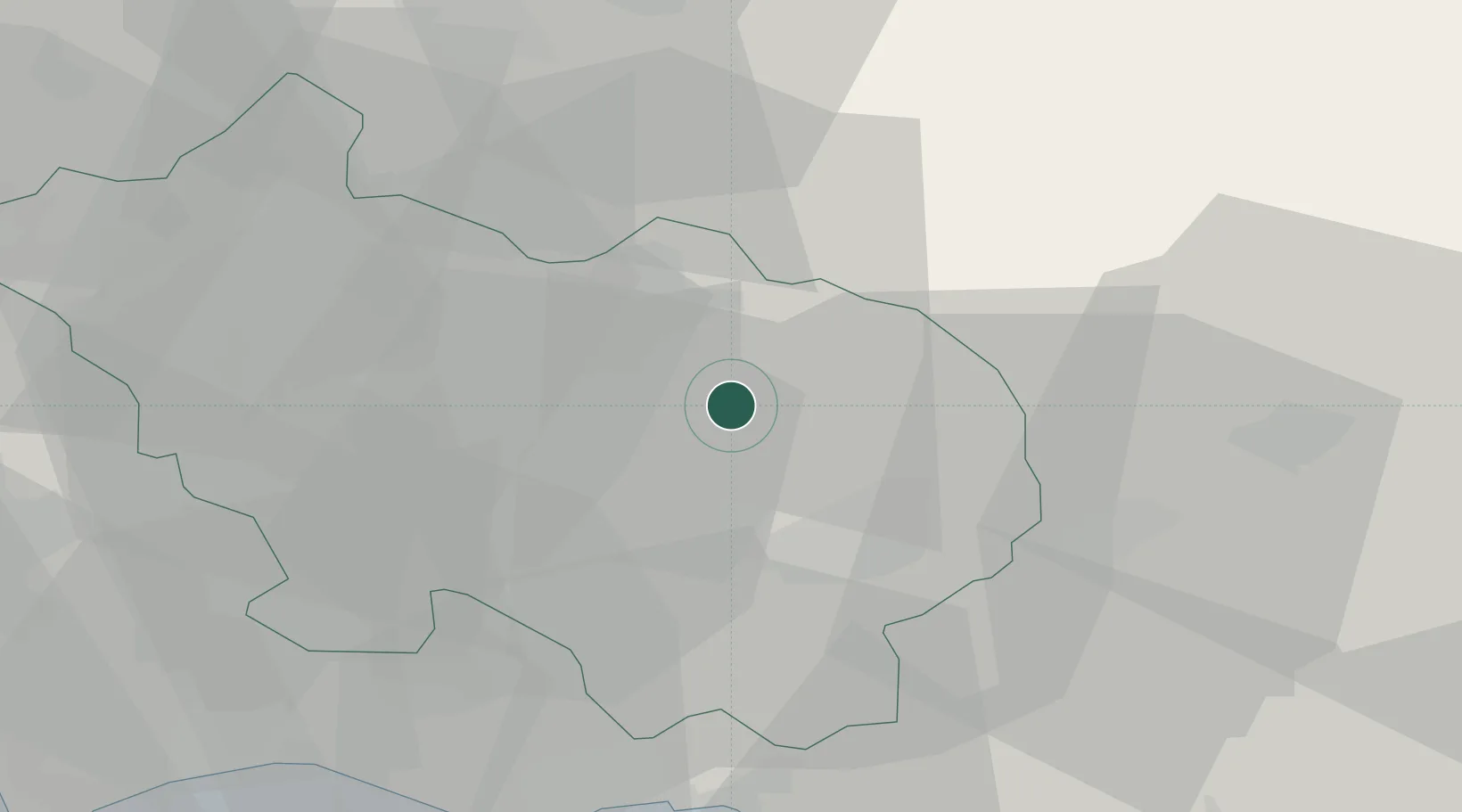
Location
Nearby Logistics Neighbours
Cities
- 1Atina7 km
- 2Broccostella9 km
- 3Roccasecca10 km
- 4Sora12 km
- 5Fontana Liri13 km
Ports
- 1Formia43 km
- 2Gaeta47 km
- 3Terracina55 km
- 4San Felice Circeo69 km
- 5Anzio - Nettuno92 km
Airports
DatabookThe Record of Consolidated Knowledge
Italy beyond logistics?