Transport Functions
Multimodal
Hub Profile
Place type
District seat
Region
Lazio
Population
1,507
Time zone
Europe/Rome
Elevation
307 m
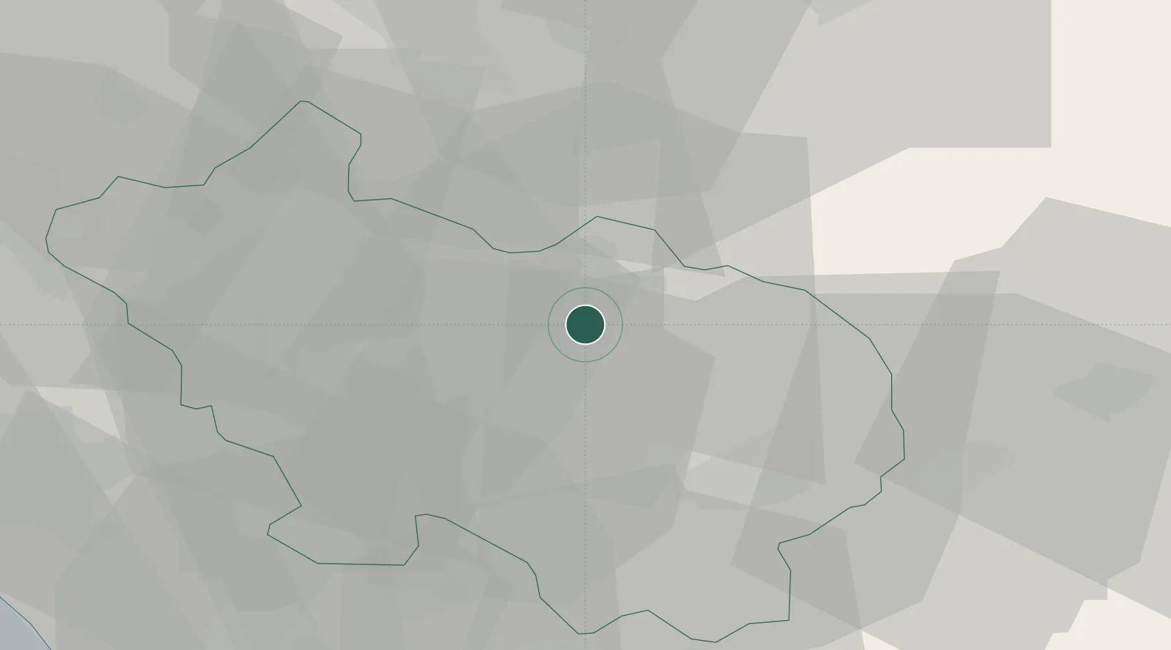
Location
Nearby Logistics Neighbours
Cities
- 1Sora4 km
- 2Casalvieri9 km
- 3Fontana Liri9 km
- 4Balsorano Vecchio14 km
- 5Roccasecca15 km
Ports
- 1Formia48 km
- 2Gaeta51 km
- 3Terracina54 km
- 4San Felice Circeo68 km
- 5Anzio - Nettuno87 km
Airports
- 1Latina Air Base62 km
- 2Grazzanise Air Base79 km
- 3Guidonia Air Base81 km
- 4Ciampino–G. B. Pastine International Airport87 km
- 5Abruzzo Airport95 km
DatabookThe Record of Consolidated Knowledge
Italy beyond logistics?