Transport Functions
Rail
Road
Hub Profile
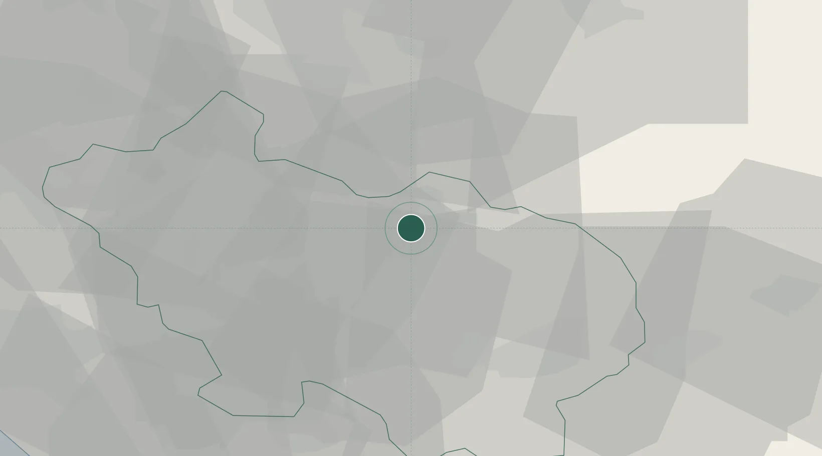
Place type
District seat
Region
Lazio
Population
23,758
Time zone
Europe/Rome
Elevation
300 m
Location
Nearby Logistics Neighbours
Cities
- 1Broccostella4 km
- 2Balsorano Vecchio10 km
- 3Balsorano Nuovo12 km
- 4Fontana Liri12 km
- 5Casalvieri12 km
Ports
- 1Formia51 km
- 2Gaeta55 km
- 3Terracina57 km
- 4San Felice Circeo70 km
- 5Anzio - Nettuno87 km
Airports
- 1Latina Air Base62 km
- 2Guidonia Air Base79 km
- 3Grazzanise Air Base83 km
- 4Ciampino–G. B. Pastine International Airport85 km
- 5Abruzzo Airport92 km
DatabookThe Record of Consolidated Knowledge
Italy beyond logistics?