Transport Functions
Multimodal
Hub Profile
Place type
District seat
Region
Lazio
Population
883
Time zone
Europe/Rome
Elevation
481 m
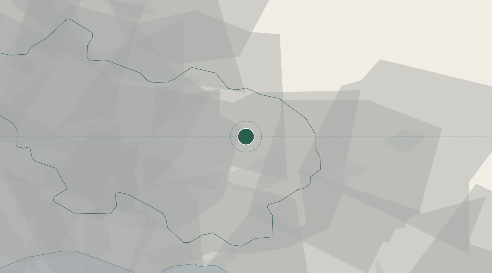
Location
Nearby Logistics Neighbours
Cities
- 1Casalvieri7 km
- 2Roccasecca13 km
- 3Piedimonte San Germano14 km
- 4Broccostella16 km
- 5Sora19 km
Ports
- 1Formia43 km
- 2Gaeta48 km
- 3Terracina59 km
- 4San Felice Circeo73 km
- 5Baia92 km
Airports
- 1Grazzanise Air Base66 km
- 2Latina Air Base75 km
- 3Naples International Airport91 km
- 4Abruzzo Airport96 km
- 5Guidonia Air Base97 km
DatabookThe Record of Consolidated Knowledge
Italy beyond logistics?