Transport Functions
Multimodal
Hub Profile
Region
FR
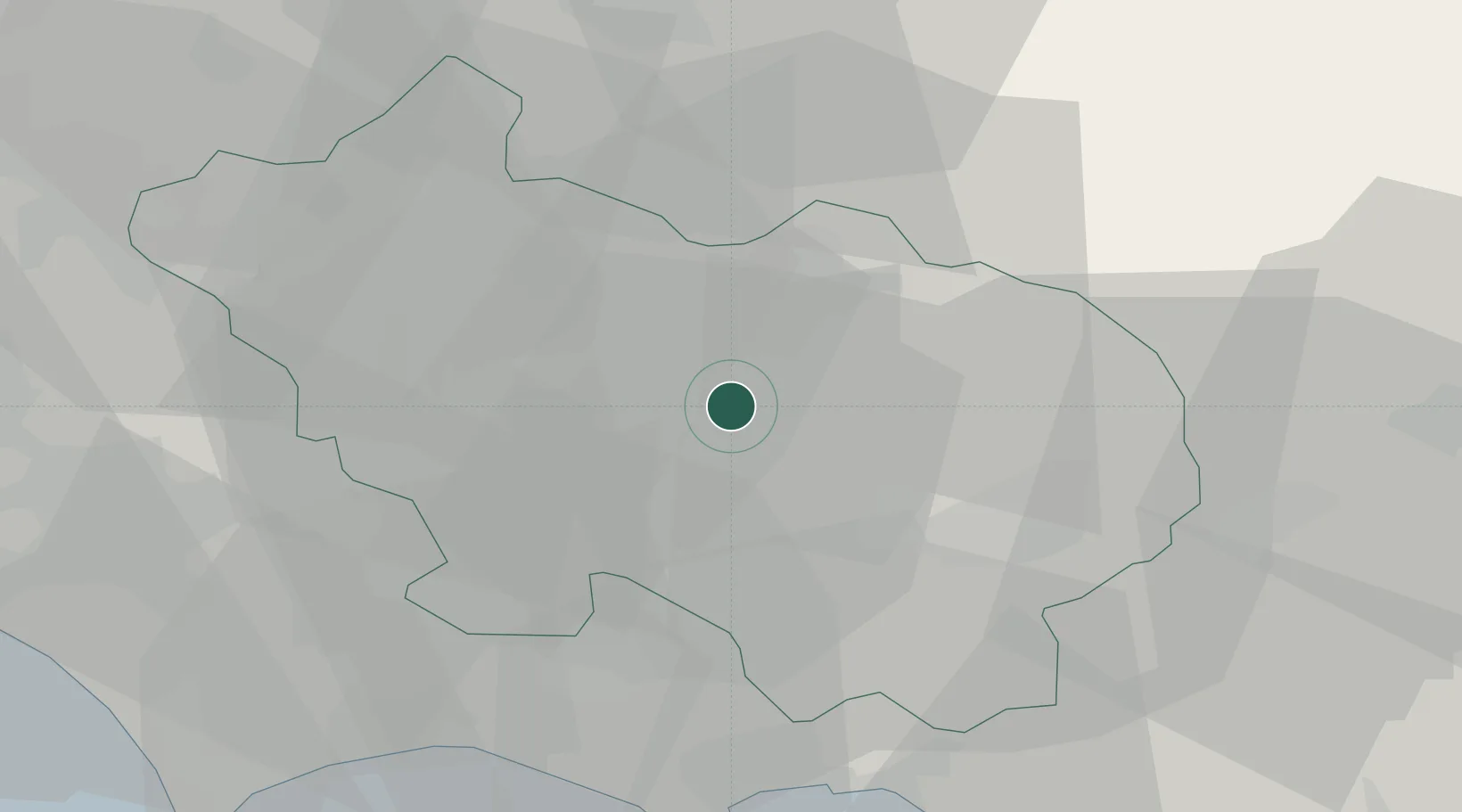
Location
Nearby Logistics Neighbours
Cities
- 1Broccostella9 km
- 2Roccasecca11 km
- 3Sora12 km
- 4Casalvieri13 km
- 5San Giovanni Incarico13 km
Ports
- 1Formia41 km
- 2Gaeta44 km
- 3Terracina45 km
- 4San Felice Circeo59 km
- 5Anzio - Nettuno80 km
Airports
- 1Latina Air Base55 km
- 2Grazzanise Air Base75 km
- 3Guidonia Air Base80 km
- 4Ciampino–G. B. Pastine International Airport83 km
- 5Pratica Di Mare Air Base93 km
DatabookThe Record of Consolidated Knowledge
Italy beyond logistics?