Transport Functions
Multimodal
Hub Profile
Place type
District seat
Region
Veneto
Population
1,262
Time zone
Europe/Rome
Elevation
31 m
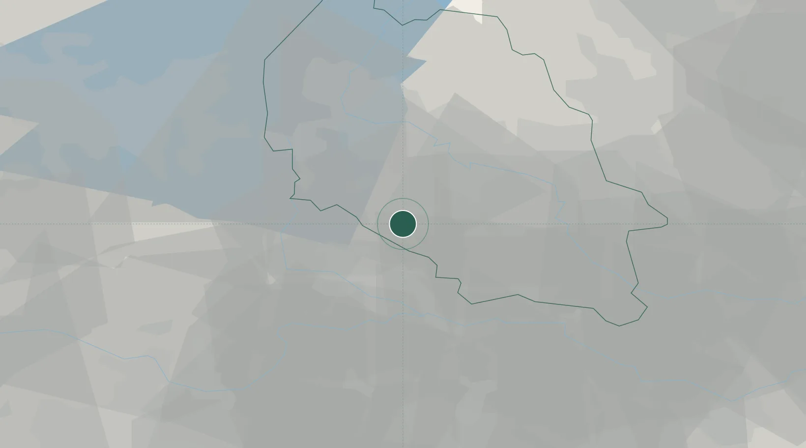
Location
Nearby Logistics Neighbours
Cities
- 1Erbè5 km
- 2Isola della Scala5 km
- 3Vigasio6 km
- 4Sorgà11 km
- 5Villafontana12 km
Ports
- 1Porto Di Chioggia107 km
- 2Porto Di Lido-Venezia118 km
- 3Porto Garibaldi123 km
- 4Porto Di Corsini137 km
- 5Marina Di Carrara155 km
Airports
Trade Zones
DatabookThe Record of Consolidated Knowledge
Italy beyond logistics?