Transport Functions
Rail
Road
Hub Profile
Place type
District seat
Region
Veneto
Population
6,918
Time zone
Europe/Rome
Elevation
37 m
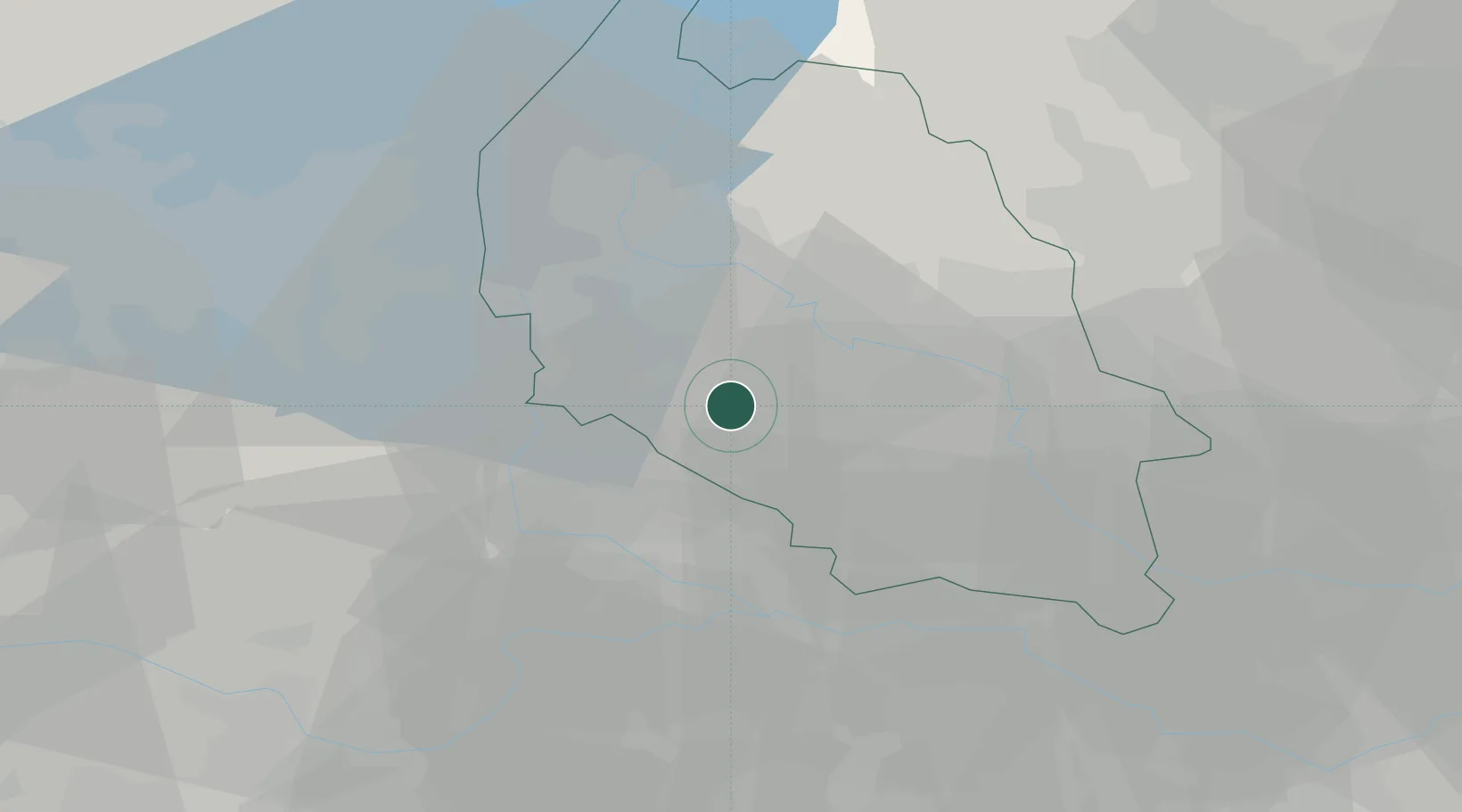
Location
Nearby Logistics Neighbours
Cities
- 1Trevenzuolo6 km
- 2Isola della Scala8 km
- 3Dossobuono9 km
- 4Erbè10 km
- 5Verona11 km
Ports
- 1Porto Di Chioggia107 km
- 2Porto Di Lido-Venezia118 km
- 3Porto Garibaldi126 km
- 4Porto Di Corsini141 km
- 5Marina Di Carrara160 km
Airports
Trade Zones
DatabookThe Record of Consolidated Knowledge
Italy beyond logistics?