UN/LOCODE hub · Italy
ITIDS
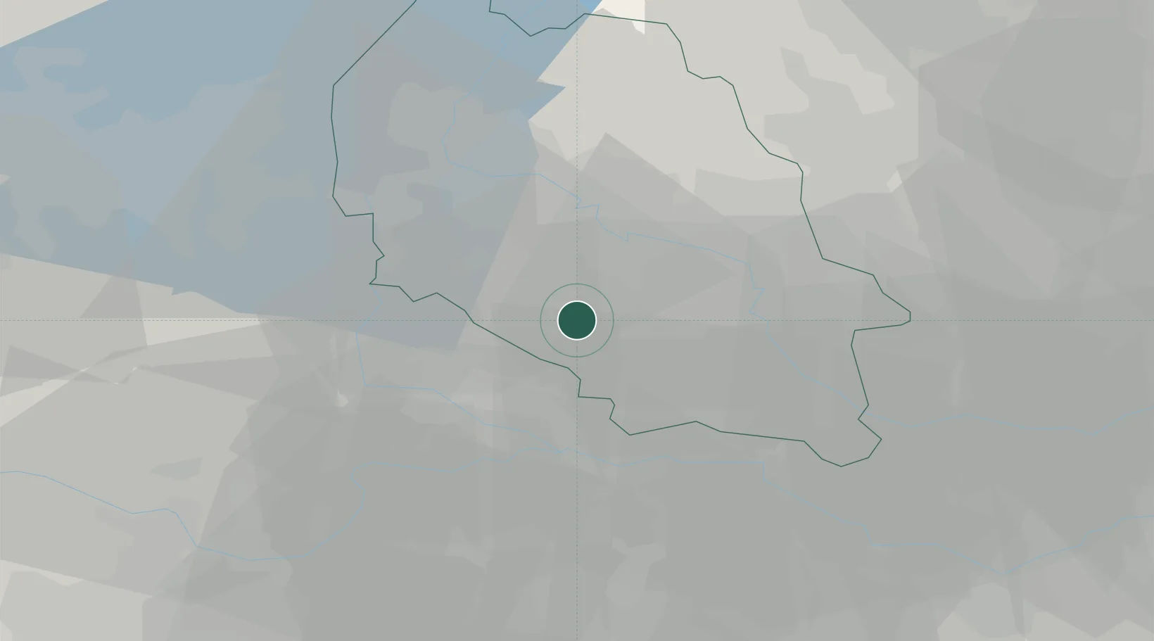
Isola della Scala
45.2667°, 11.0000°
8,348
Population
2
Transport functions
Transport Functions
Rail
Road
Hub Profile
Place type
District seat
Region
Veneto
Population
8,348
Time zone
Europe/Rome
Elevation
31 m
Location
Nearby Logistics Neighbours
Cities
- 1Erbè5 km
- 2Trevenzuolo5 km
- 3Villafontana8 km
- 4Vigasio8 km
- 5Sorgà9 km
Ports
- 1Porto Di Chioggia102 km
- 2Porto Di Lido-Venezia113 km
- 3Porto Garibaldi118 km
- 4Porto Di Corsini133 km
- 5Marina Di Carrara157 km
Airports
Trade Zones
DatabookThe Record of Consolidated Knowledge
Italy beyond logistics?