Transport Functions
Road
Multimodal
Hub Profile
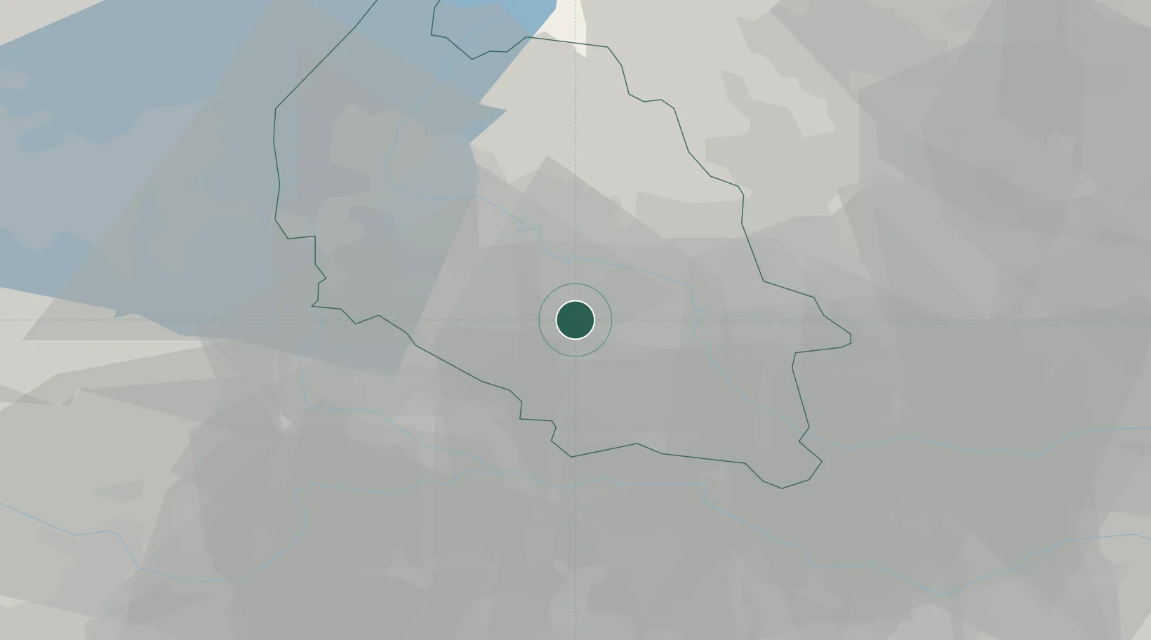
Place type
Populated place
Region
Veneto
Population
590
Time zone
Europe/Rome
Elevation
30 m
Location
Nearby Logistics Neighbours
Cities
- 1Isola della Scala8 km
- 2Erbè12 km
- 3Vigasio12 km
- 4Trevenzuolo12 km
- 5San Martino Buon Albergo13 km
Ports
- 1Porto Di Chioggia96 km
- 2Porto Di Lido-Venezia106 km
- 3Porto Garibaldi115 km
- 4Porto Di Corsini131 km
- 5Cesenatico160 km
Airports
Trade Zones
DatabookThe Record of Consolidated Knowledge
Italy beyond logistics?