Transport Functions
Road
Multimodal
Hub Profile
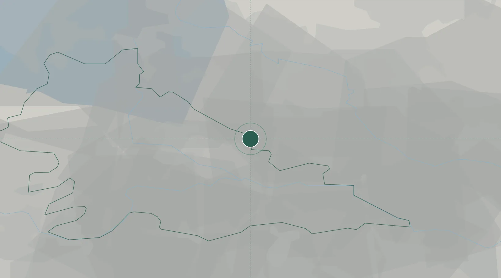
Place type
District seat
Region
Veneto
Population
552
Time zone
Europe/Rome
Elevation
25 m
Location
Nearby Logistics Neighbours
Cities
- 1Erbè6 km
- 2Isola della Scala9 km
- 3Trevenzuolo11 km
- 4Governolo12 km
- 5Bagnolo San Vito14 km
Ports
- 1Porto Di Chioggia102 km
- 2Porto Garibaldi114 km
- 3Porto Di Lido-Venezia115 km
- 4Porto Di Corsini127 km
- 5Marina Di Carrara149 km
Airports
Trade Zones
DatabookThe Record of Consolidated Knowledge
Italy beyond logistics?