UN/LOCODE hub · Italy
ITVGS
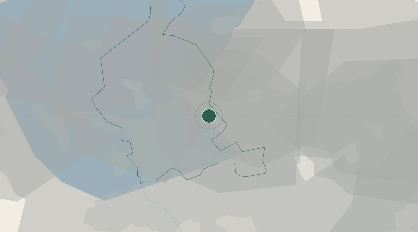
Venegono Superiore
45.7500°, 8.9000°
6,393
Population
2
Transport functions
Transport Functions
Rail
Road
Hub Profile
Place type
District seat
Region
Lombardy
Population
6,393
Time zone
Europe/Rome
Elevation
331 m
Location
Nearby Logistics Neighbours
Cities
- 1Vedano Olona2 km
- 2Torba5 km
- 3Cagno6 km
- 4Albiolo6 km
- 5Lurago Marinone6 km
Ports
- 1Genova150 km
- 2Savona162 km
- 3Chiavari - Lavagna164 km
- 4Rada Di Vado169 km
- 5La Spezia198 km
Airports
- 1Varese-Venegono Airport1 km
- 2Milan Malpensa International Airport19 km
- 3Lugano Airport28 km
- 4Cameri Air Base30 km
- 5Milano Linate Airport45 km
Trade Zones
- 1Magazzini Generali Con Chiasso11 km
- 2Livigno Free Trade Zone127 km
- 3Aosta Valley162 km
- 4Port Franc Vevey197 km
- 5PESA - Port-Franc et Entrepôts de Lausanne-Chavornay SA209 km
DatabookThe Record of Consolidated Knowledge
Italy beyond logistics?