Transport Functions
Rail
Road
Hub Profile
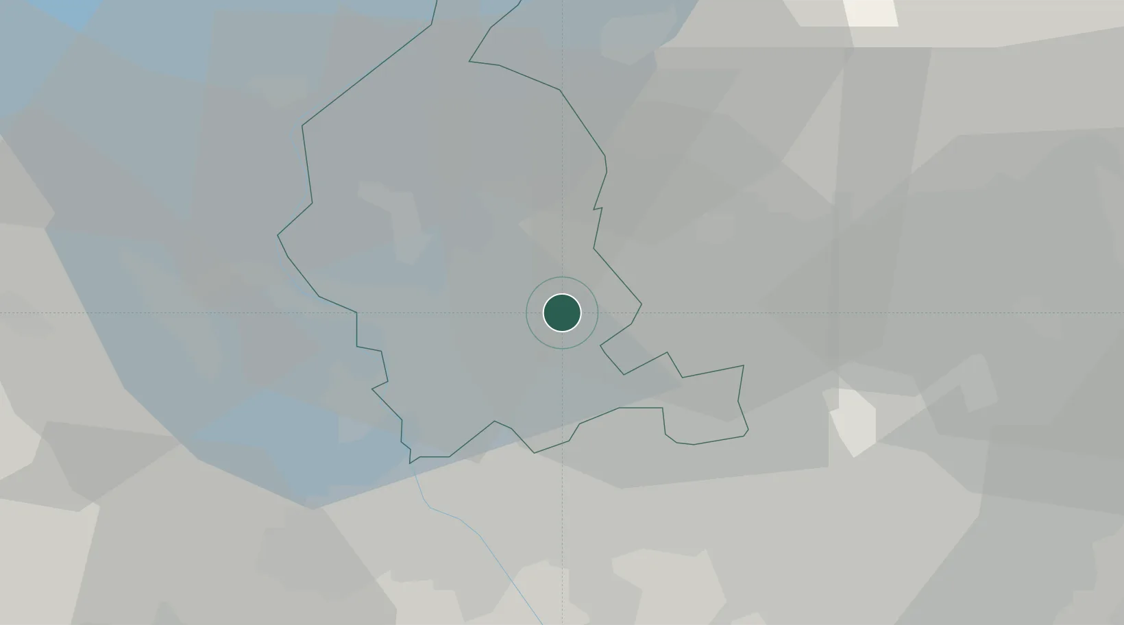
Place type
Populated place
Region
Lombardy
Population
153
Time zone
Europe/Rome
Elevation
248 m
Location
Nearby Logistics Neighbours
Cities
- 1Venegono Superiore5 km
- 2Fagnano Olona6 km
- 3Vedano Olona6 km
- 4Carbonate6 km
- 5Gazzada7 km
Ports
- 1Genova147 km
- 2Savona158 km
- 3Chiavari - Lavagna161 km
- 4Rada Di Vado165 km
- 5La Spezia195 km
Airports
- 1Varese-Venegono Airport3 km
- 2Milan Malpensa International Airport14 km
- 3Cameri Air Base26 km
- 4Lugano Airport32 km
- 5Milano Linate Airport44 km
Trade Zones
- 1Magazzini Generali Con Chiasso16 km
- 2Livigno Free Trade Zone131 km
- 3Aosta Valley160 km
- 4Port Franc Vevey196 km
- 5PESA - Port-Franc et Entrepôts de Lausanne-Chavornay SA209 km
DatabookThe Record of Consolidated Knowledge
Italy beyond logistics?