Transport Functions
Road
Multimodal
Hub Profile
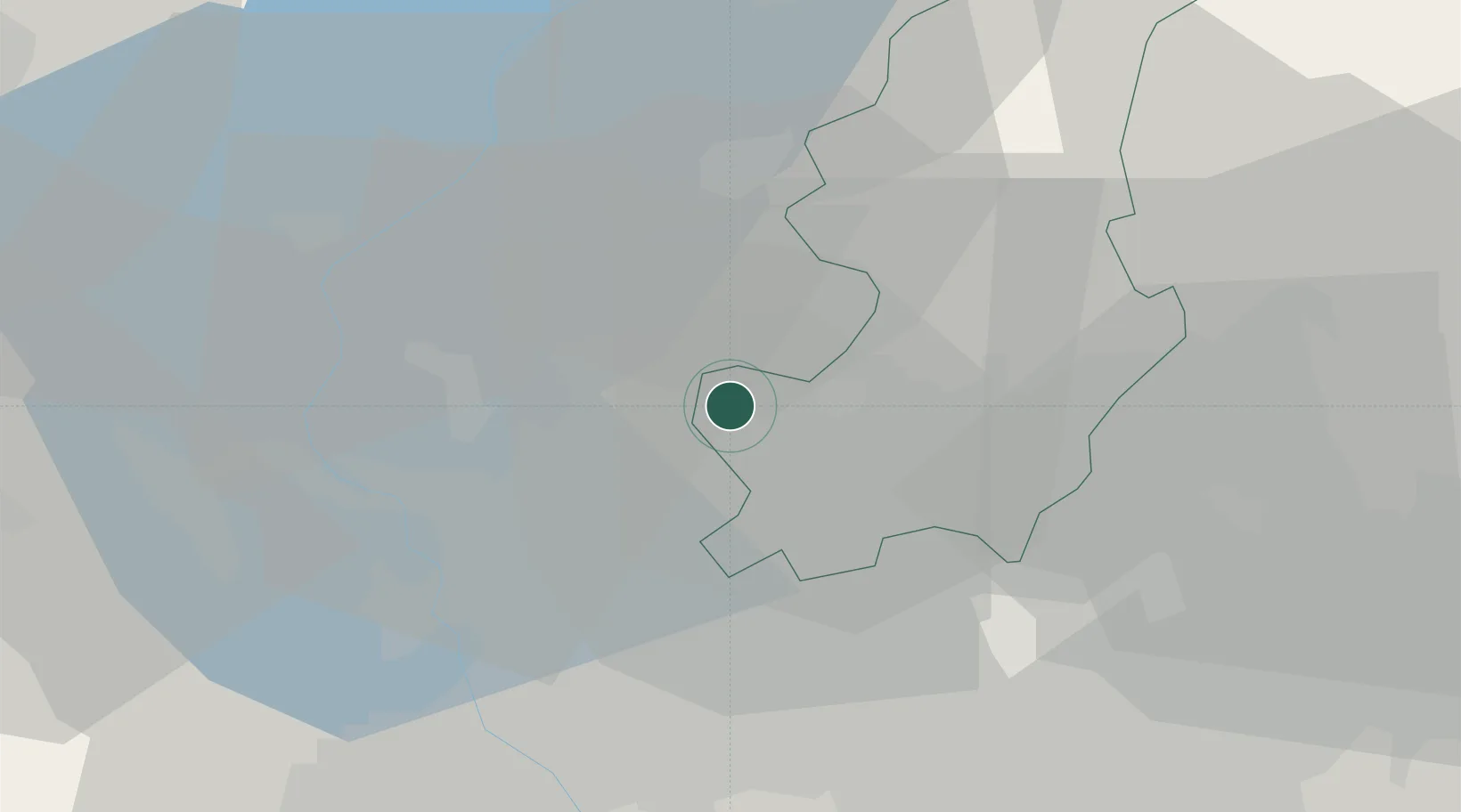
Place type
District seat
Region
Lombardy
Population
2,508
Time zone
Europe/Rome
Elevation
423 m
Location
Nearby Logistics Neighbours
Cities
- 1Cagno1 km
- 2Bizzarone4 km
- 3Gironico5 km
- 4Ronago5 km
- 5Vedano Olona5 km
Ports
- 1Genova156 km
- 2Savona168 km
- 3Chiavari - Lavagna169 km
- 4Rada Di Vado175 km
- 5La Spezia202 km
Airports
- 1Varese-Venegono Airport7 km
- 2Lugano Airport23 km
- 3Milan Malpensa International Airport25 km
- 4Cameri Air Base36 km
- 5Milano Linate Airport48 km
Trade Zones
DatabookThe Record of Consolidated Knowledge
Italy beyond logistics?