Transport Functions
Road
Multimodal
Hub Profile
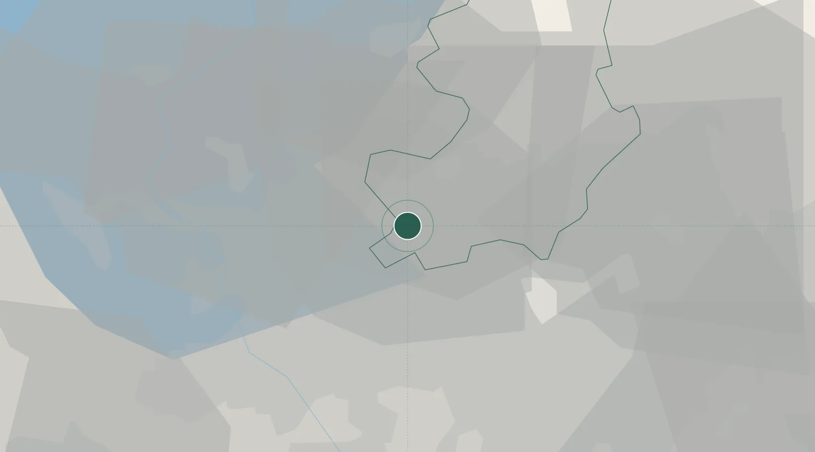
Place type
District seat
Region
Lombardy
Population
2,434
Time zone
Europe/Rome
Elevation
294 m
Location
Nearby Logistics Neighbours
Cities
- 1Bulgarograsso3 km
- 2Cirimido3 km
- 3Fenegrò3 km
- 4Guanzate4 km
- 5Limido Comasco4 km
Ports
- 1Genova147 km
- 2Chiavari - Lavagna160 km
- 3Savona160 km
- 4Rada Di Vado166 km
- 5La Spezia192 km
Airports
- 1Varese-Venegono Airport7 km
- 2Milan Malpensa International Airport21 km
- 3Cameri Air Base31 km
- 4Lugano Airport32 km
- 5Milano Linate Airport39 km
Trade Zones
- 1Magazzini Generali Con Chiasso14 km
- 2Livigno Free Trade Zone126 km
- 3Aosta Valley167 km
- 4Port Franc Vevey203 km
- 5PESA - Port-Franc et Entrepôts de Lausanne-Chavornay SA215 km
DatabookThe Record of Consolidated Knowledge
Italy beyond logistics?