Transport Functions
Road
Multimodal
Hub Profile
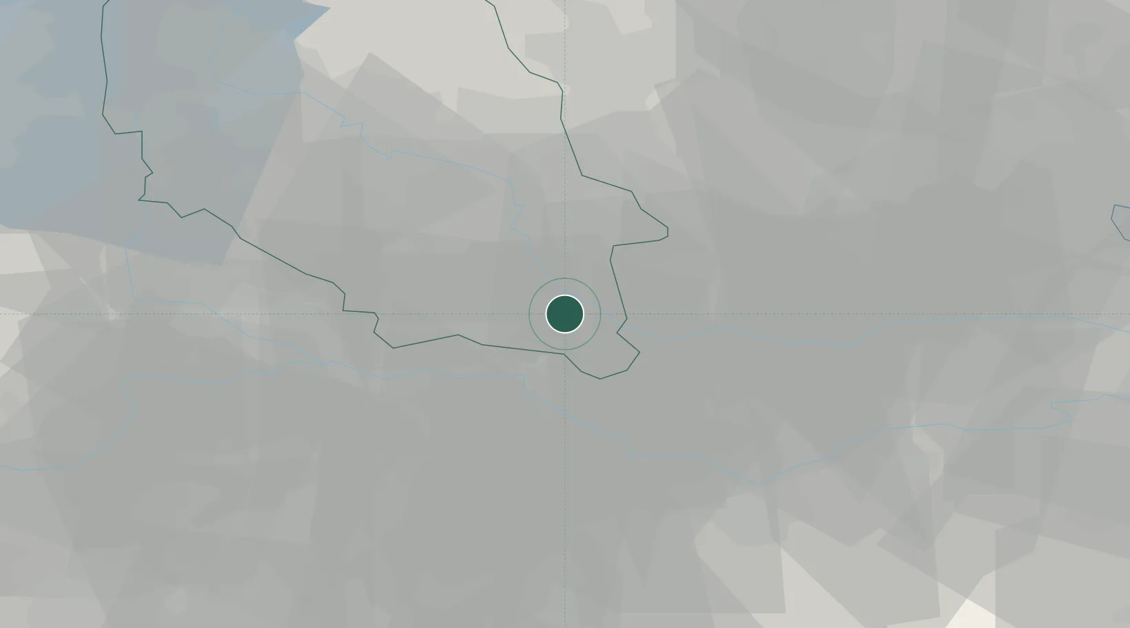
Place type
District seat
Region
Veneto
Population
3,221
Time zone
Europe/Rome
Elevation
14 m
Location
Nearby Logistics Neighbours
Cities
- 1Angiari8 km
- 2Borgofranco Sul Po9 km
- 3Bergantino11 km
- 4Badia Polesine14 km
- 5Montagnana14 km
Ports
- 1Porto Di Chioggia76 km
- 2Porto Garibaldi89 km
- 3Porto Di Lido-Venezia91 km
- 4Porto Di Corsini105 km
- 5Cesenatico135 km
Airports
Trade Zones
DatabookThe Record of Consolidated Knowledge
Italy beyond logistics?