Transport Functions
Rail
Road
Multimodal
Hub Profile
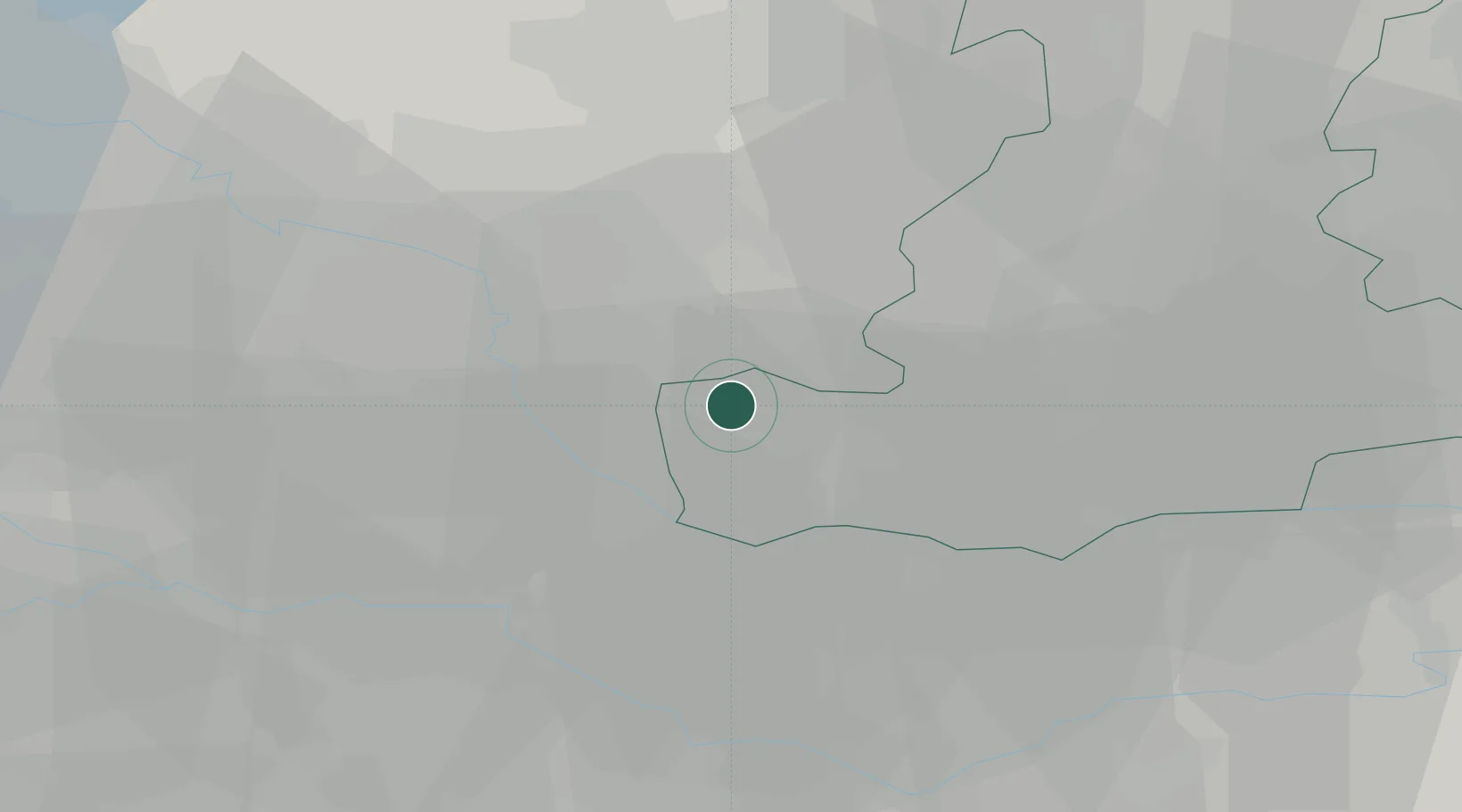
Place type
District seat
Region
Veneto
Population
8,000
Time zone
Europe/Rome
Elevation
16 m
Location
Nearby Logistics Neighbours
Cities
- 1Saletto6 km
- 2Megliadino San Vitale7 km
- 3Ospedaletto Euganeo11 km
- 4Ponso11 km
- 5Campiglia dei Berici12 km
Ports
- 1Porto Di Chioggia65 km
- 2Porto Di Lido-Venezia78 km
- 3Porto Garibaldi87 km
- 4Porto Di Corsini105 km
- 5Cesenatico136 km
Airports
Trade Zones
DatabookThe Record of Consolidated Knowledge
Italy beyond logistics?