Transport Functions
Road
Multimodal
Hub Profile
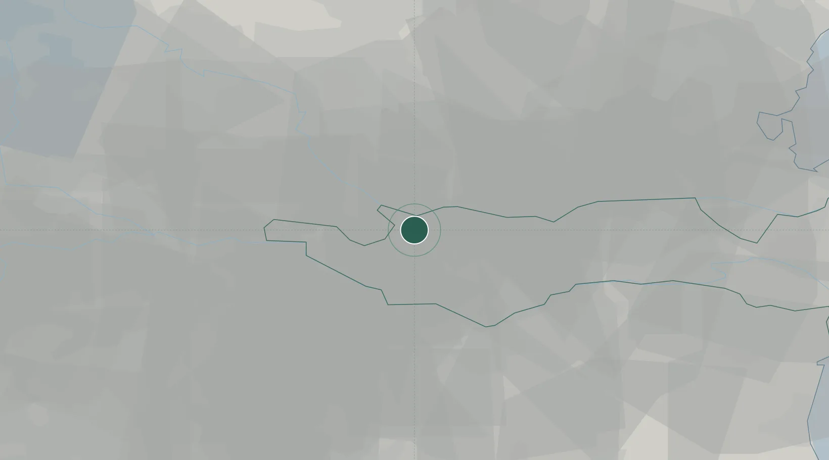
Place type
District seat
Region
Veneto
Population
6,940
Time zone
Europe/Rome
Elevation
11 m
Location
Nearby Logistics Neighbours
Cities
- 1Trecenta6 km
- 2Megliadino San Vitale11 km
- 3Borgofranco Sul Po12 km
- 4Fratta Polesine13 km
- 5Ponso14 km
Ports
- 1Porto Di Chioggia66 km
- 2Porto Garibaldi76 km
- 3Porto Di Lido-Venezia83 km
- 4Porto Di Corsini91 km
- 5Cesenatico122 km
Airports
Trade Zones
DatabookThe Record of Consolidated Knowledge
Italy beyond logistics?