Transport Functions
Multimodal
Hub Profile
Place type
District seat
Region
Veneto
Population
2,065
Time zone
Europe/Rome
Elevation
15 m
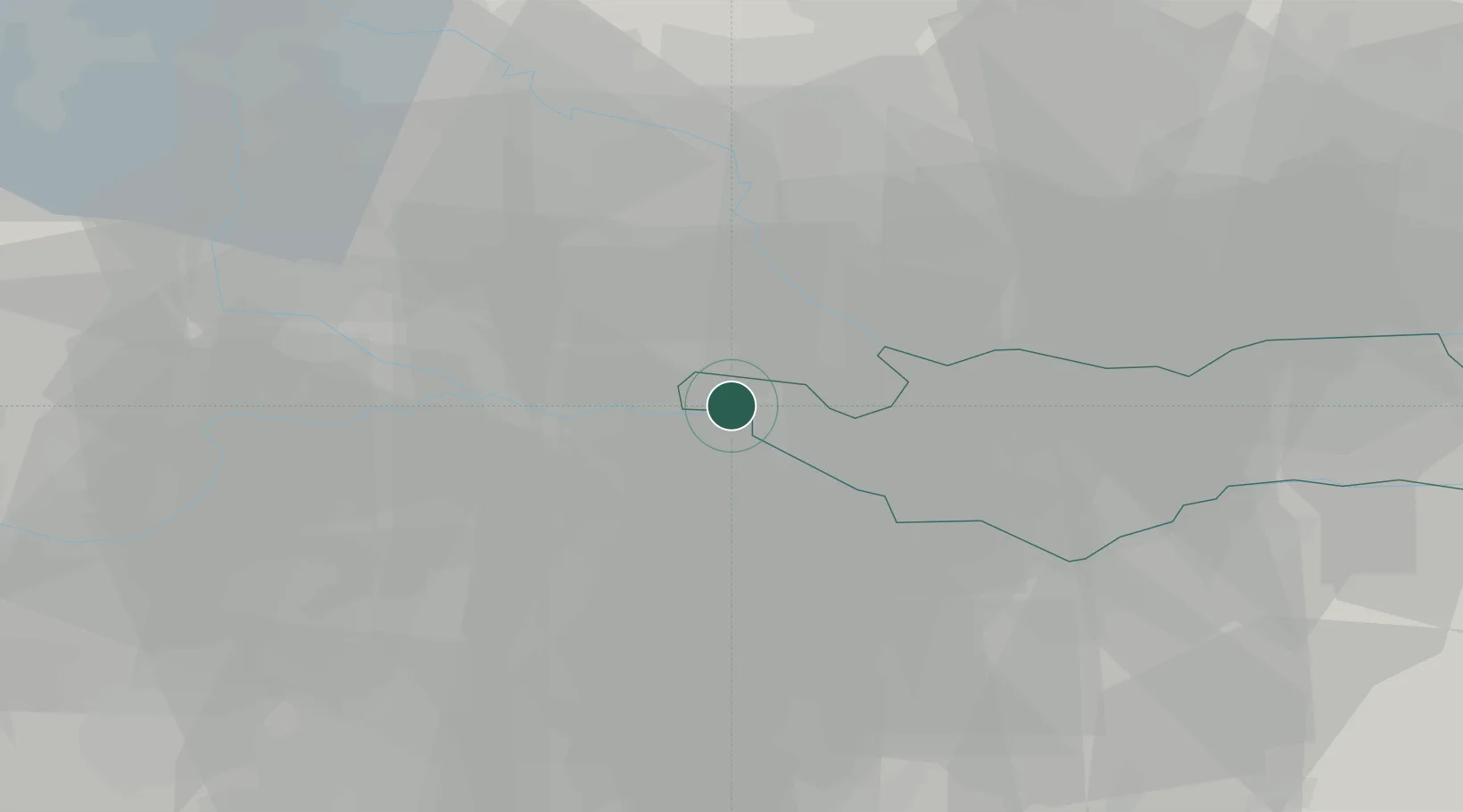
Location
Nearby Logistics Neighbours
Cities
- 1Carbonara di Po5 km
- 2Moglia6 km
- 3Castelnovo Bariano6 km
- 4Borgofranco Sul Po7 km
- 5Ostiglia9 km
Ports
- 1Porto Di Chioggia84 km
- 2Porto Garibaldi90 km
- 3Porto Di Lido-Venezia101 km
- 4Porto Di Corsini104 km
- 5Cesenatico132 km
Airports
Trade Zones
DatabookThe Record of Consolidated Knowledge
Italy beyond logistics?