Transport Functions
Rail
Road
Airport
Hub Profile
Place type
Populated place
Region
Lombardy
Population
896
Time zone
Europe/Rome
Elevation
24 m
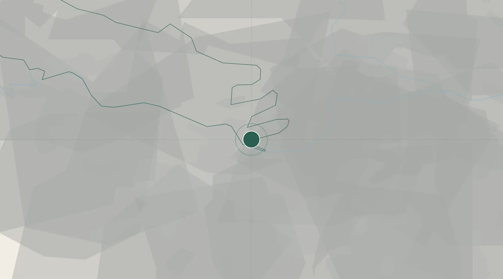
Location
Nearby Logistics Neighbours
Cities
- 1Viadana4 km
- 2Colorno7 km
- 3Boretto9 km
- 4Pomponesco10 km
- 5Coenzo di Sorbolo11 km
Ports
- 1La Spezia107 km
- 2Marina Di Carrara108 km
- 3Chiavari - Lavagna115 km
- 4Viareggio122 km
- 5Genova137 km
Airports
Trade Zones
DatabookThe Record of Consolidated Knowledge
Italy beyond logistics?