Transport Functions
Rail
Road
Hub Profile
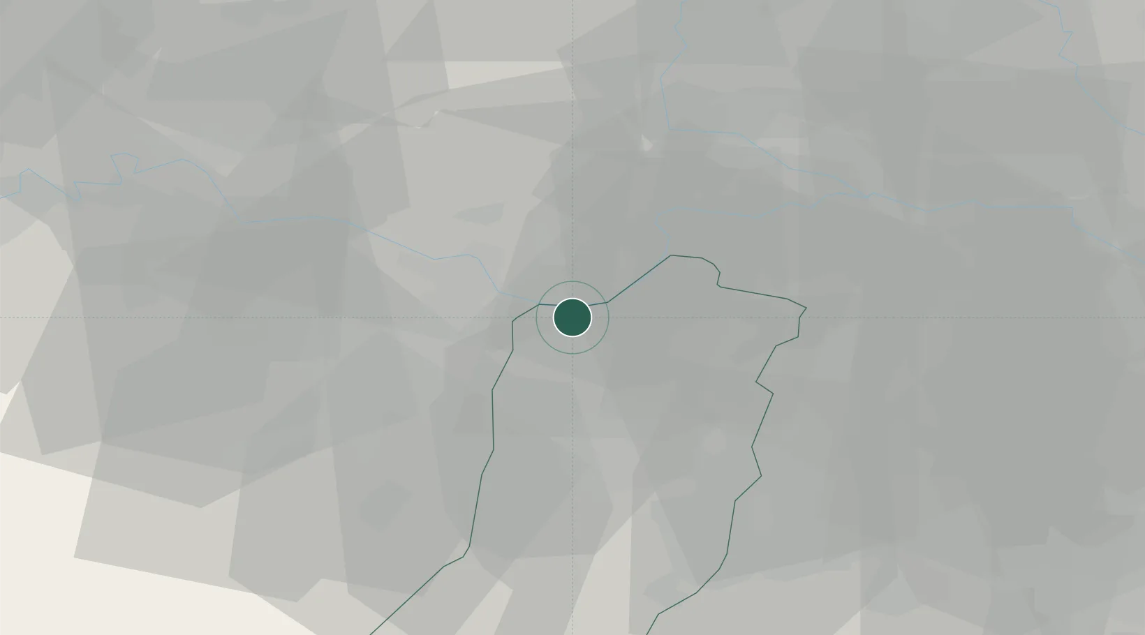
Place type
District seat
Region
Emilia-Romagna
Population
5,106
Time zone
Europe/Rome
Elevation
23 m
Location
Nearby Logistics Neighbours
Cities
- 1Pomponesco3 km
- 2Viadana5 km
- 3Casalbellotto9 km
- 4Santa Vittoria9 km
- 5Coenzo di Sorbolo10 km
Ports
- 1Marina Di Carrara105 km
- 2La Spezia106 km
- 3Chiavari - Lavagna117 km
- 4Viareggio118 km
- 5Porto Garibaldi137 km
Airports
Trade Zones
DatabookThe Record of Consolidated Knowledge
Italy beyond logistics?