Transport Functions
Port
Hub Profile
Place type
District seat
Region
Apulia
Population
367
Time zone
Europe/Rome
Elevation
40 m
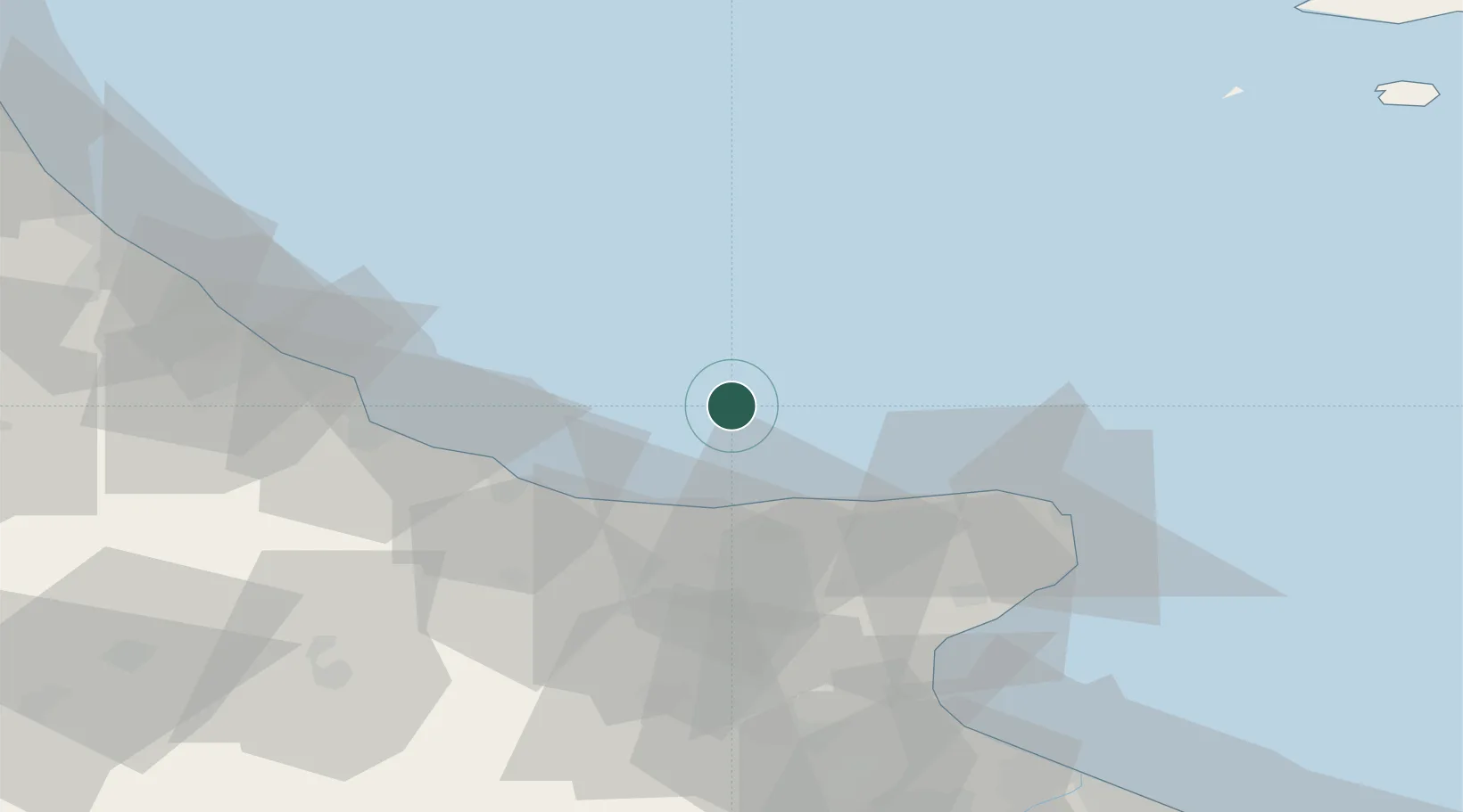
Location
Nearby Logistics Neighbours
Cities
- 1Lesina30 km
- 2Foce Varano34 km
- 3Guglionesi52 km
- 4Manfredonia65 km
- 5Sant'Elia a Pianisi74 km
Ports
- 1Vasto63 km
- 2Manfredonia66 km
- 3Ortona92 km
- 4Pescara110 km
- 5Porto Di Barletta110 km
Airports
- 1San Domino Island Heliport1 km
- 2Eliporto Peschici49 km
- 3Amendola Air Base67 km
- 4Foggia Gino Lisa Airport76 km
- 5Abruzzo Airport113 km
Trade Zones
DatabookThe Record of Consolidated Knowledge
Italy beyond logistics?