Transport Functions
Multimodal
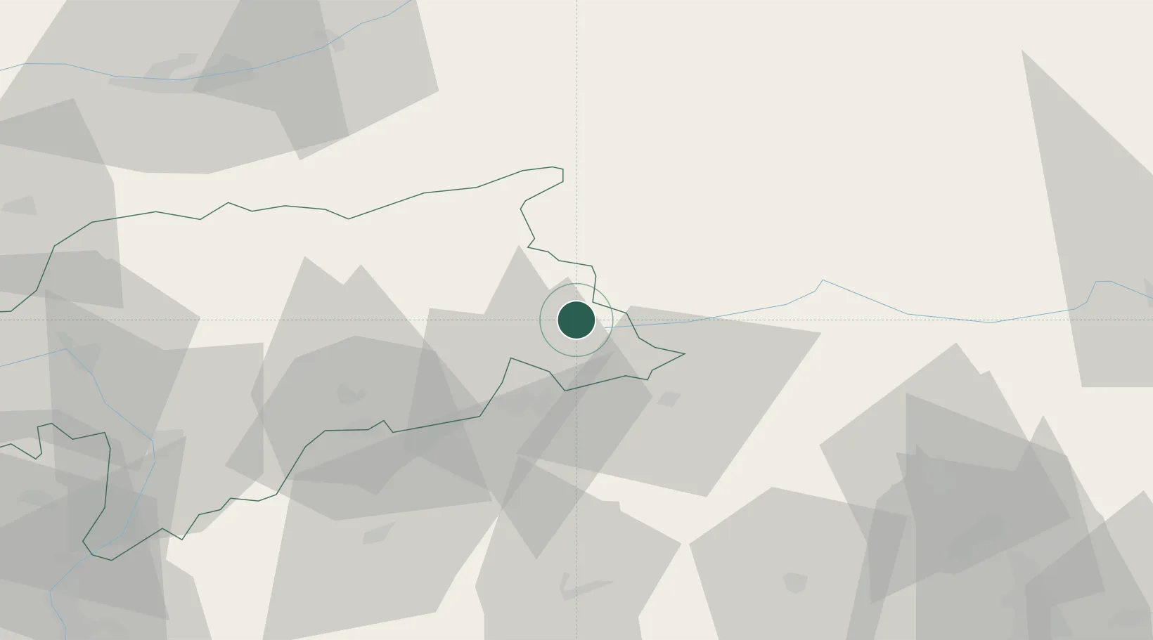
Hub Profile
Place type
District seat
Region
Trentino-Alto Adige
Population
2,373
Time zone
Europe/Rome
Elevation
1,256 m
Location
Nearby Logistics Neighbours
Cities
- 1Sesto11 km
- 2Heinfels17 km
- 3Gais24 km
- 4Brunico24 km
- 5San Lorenzo di Sebato26 km
Ports
- 1Nogaro132 km
- 2Grado143 km
- 3Monfalcone148 km
- 4Porto Di Lido-Venezia149 km
- 5Porto Di Chioggia169 km
Airports
- 1Bolzano Airport77 km
- 2Aviano Air Base85 km
- 3Innsbruck Airport88 km
- 4Udine-Rivolto Air Base106 km
- 5Trento-Mattarello Airport117 km
Trade Zones
- 1Free Port of Venice147 km
- 2Consorzio Zona Industriale e Porto Fluviale di Padova153 km
- 3Livigno Free Trade Zone165 km
- 4Free Port of Trieste170 km
- 5Port of Rijeka Free Zone233 km
DatabookThe Record of Consolidated Knowledge
Italy beyond logistics?